New Delhi: China has asked India to refrain from “overinterpreting” the issuance of its ‘standard map’ which made territorial claims over Indian territories including Arunachal Pradesh and Aksai Chin.
The statement came a day after the Ministry of External Affairs (MEA) reacted strongly to the release of the map, saying that “such steps by the Chinese side only complicate the resolution of the boundary question” referring to the ongoing talks to resolve the tension at the Line of Actual Control (LAC).
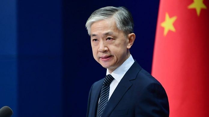
“On August 28, the Ministry of Natural Resources of China released the 2023 edition of the standard map. It is a routine practice in China’s exercise of sovereignty in accordance with the law. We hope relevant sides can stay objective and calm, and refrain from over-interpreting the issue,” Chinese Foreign Ministry spokesperson Wang Wenbin said, without naming India.
Wang made the statement while responding to a question at the weekly press briefing.
On Monday, Beijing had released its standard map reiterating its claims over Indian territories, including Arunachal Pradesh and Aksai Chin, besides Taiwan and a large part of the South China Sea.
Hours after the state-run Global Times posted the map on social platform X, earlier known as Twitter, MEA spokesperson Arindam Bagchi said that India had “lodged a strong protest through diplomatic channels with the Chinese side” and that India rejects these claims as they have “no basis”.
In February, Chinese President Xi Jinping had issued new standards for the contents of maps, “in order to strengthen map management, safeguard national sovereignty, security and development interests and promote the healthy development of the geographic information industry”.
Two months later, China then released a list of what it calls “standardised geographical names” for 11 places in Arunachal Pradesh, along with a map depicting much of the state as “Zangnan”, the southern part of the Tibet Autonomous Region. In a prompt response, the MEA had outrightly rejected Beijing’s attempt to rename places of Arunachal Pradesh.
(Edited by Tony Rai)
Also Read: Mutual pullback of some troops from LAC on cards as Modi-Xi discuss Ladakh tensions at BRICS


