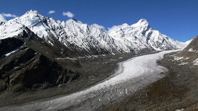
New York: Himalayan glacier melt has doubled over the last 40 years, according to new research made possible by declassified cold war era satellite imagery.
The 650 glaciers under study in parts of China, India, Bhutan and Nepal were found to be melting at the rate of about 0.43 meters of water a year between 2000 and 2016, or twice as fast as they did between 1975 and 2000. About 13% of the ice seen in 1975 disappeared by 2000. In the next 16 years, another 15% of the original glaciers vanished.
Those glaciers feed rivers that run from western Pakistan to central China, providing water for as many as 1 billion people. The scale of the ice is so grand that the frozen top of Asia is commonly referred to as the “third pole,” after Antarctica and the Arctic.
The melting was consistent across more than 1,200 miles (2,000 kilometers). Researchers suspect the rise in regional average temperature over the last 40 years is the culprit. The amount of energy it takes to melt that much ice “is consistent with warming temperatures recorded by meteorological stations in the region,” they wrote, or about 1 degree Celsius (1.8 Fahrenheit), though they said they weren’t able to be as specific as they would have liked.
“It looks just like what we would expect if warming were the dominant driver of ice loss,” said Joshua Maurer, a Columbia PhD candidate and the lead author of the new Science Advances article, in a release.
Data from the study was obtained by U.S. KH-9 Hexagon satellites used for global reconnaissance during the 1970s. The researchers accessed the images, which had been scanned by the U.S. Geological Survey, through the agency’s Earth Explorer portal. The elevation levels were estimated using modeling and mathematical techniques, and most of the 42 images studied were taken from 1973 to 1976. – Bloomberg
Also read: Most of us were born into climate change — it’s the only world we’ve ever known


