





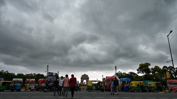


New Delhi: A certain type of cloud, once an identifier of the Indian monsoon, has not been seen in the region for over 30 years. Experts say this is making the monsoon more intense and unpredictable in India.
Impacts of climate change are not just seen in the monsoon rainfall recorded in India, but also in the type of clouds forming over the region.
Mahesh Palawat, vice-president (meteorology and climate change) at Skymet Weather, a private weather forecasting service, said that monsoon rain in India is getting shorter and more intense, and a primary reason for this is the type of clouds forming over the region in recent decades.
The altostratus clouds, which were once associated with the Indian monsoon, have become less common over the Indian territory, especially over Delhi-NCR. These clouds generally bring small quantities of rain over a prolonged period.
Such clouds have been replaced by cumulonimbus clouds, also known as thunderstorms, which are characterised by intense rain spells, lightning, hail, and strong winds.
“Till the 1980s, the Delhi-NCR region used to get altostratus clouds, which brought days of consistent but low-intensity rain. But since the 1990s, these clouds have stopped forming in this region,” Palawat told ThePrint.
“Now, even though the quantity of rainfall that we receive is the same, it is pouring in all at once instead of coming in shorter intervals,” he added.
Also Read: India’s driest June in 17 years—what happened after the weak monsoons of 2009 and 2014
Reason and impact
Altostratus clouds are mid-level clouds, which often appear as continuous grey or bluish-grey sheets. Since these are uniform clouds, stretching over a larger area, they typically do not produce heavy rainfall but maintain consistent moisture.
These clouds range only between 8,000 and 12,000 feet but can stretch for hundreds of kilometres, bringing light showers for days.
On the other hand, cumulonimbus clouds are towering vertical clouds associated with severe weather. These clouds are often known to reach up to 50,000 feet.
Experts said that because altostratus clouds are large patches of clouds, it makes rainfall forecasting much easier compared to the cumulonimbus clouds, which are small and segmented and more difficult to forecast in time.
A senior official from the India Meteorological Department told ThePrint that climate change and extreme urbanisation are likely among the many factors behind this shifting monsoon trend and cloud formation patterns.
“Rainfall data confirms this trend. Over the last few years, we have been observing that rainfall that we used to get in a staggered period over the entire season is received in a few spells. The rest of the season remains dry,” the official said, adding that such a shift is neither suitable for urban centres nor conducive to agricultural activities.
Palawat explained that short spells of heavy rain make cities more prone to flooding. It also causes crop damage.
“Because the rains are so heavy, it often washes away the topsoil, which becomes catastrophic for farmers. In cities, just hours of rain can wreak havoc. Traffic comes to a standstill and roads flood,” he said.
Experts said that this trend also confirms the impact of climate change on the Indian monsoon and needs to be studied more holistically, not just by total rainfall numbers.
(Edited by Insha Jalil Waziri)