Since HysIS’s launch, a spawning folklore has attributed spectacular powers to the satellite. ThePrint speaks to domain experts to set the record straight.
Bengaluru: The Indian Space Research Organisation (ISRO) launched HysIS, one of India’s most useful and powerful satellites yet, last week in what was seen as a crucial move for the country.
However, the launch has led to a spawning of popular folklore, attributing spectacular powers to the satellite.
Several media reports indicate that HysIS (Hyperspectral Imaging Satellite), an Earth observation satellite, would be a powerful ally for the military. ThePrint’s own report was titled “… will help India’s agriculture & defence sectors”.
However, it appears that the satellite’s militaristic claims — none of which have been made by ISRO — seem to be grossly exaggerated and distracting from its primary functionality, assistance to agriculture sector.
To set the record straight on what the satellite’s powers are, ThePrint spoke to domain experts for their views.
Also read: ISRO mission successfully places HysIS, 30 foreign satellites into orbit
Military assistance?
Several media reports seem to indicate that the satellite will be able to see up to 5cm under the soil. A report in a leading daily claimed that the satellite will be able to detect land mines below the surface.
Some reports also have mentioned that the satellite is powerful enough to see tank tracks on the road, thus providing powerful assistance to the defence sector.
Experts, however, say there is no truth to any of this.
In his ISRO career spanning 35 years, Arup Dasgupta worked on remote-sensing satellites such as Bhaskara and IRS, and their image and information processing systems.
Dasgupta, presently the managing editor of Geospatial Media and Communications, said HysIS cannot penetrate the soil. “It is not like a radar where signals can be sent below the surface.
“The spectral imaging is performed by studying what the earth is reflecting, both the incoming solar energy as well as earth’s own radiation going out,” said Dasgupta.
“There is heat associated with these processes, which is what the infrared part of the spectral image reveals. So when ISRO says they study the surface only, they aren’t wrong,” he added.
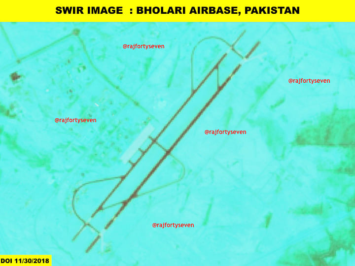
The satellite has a spatial resolution of 30m, which indicates that each pixel on an image it captures is 30m wide. Landsat, operated by the US government, also has a resolution of 30m.
“To study one hectare of land, 20 pixels are used up. This isn’t very practical for military applications unless you’re tracking movement of large battalions,” said Prateep Basu, co-founder of geospatial platform SatSure which processes satellite data for agriculture.
“The very fact that it has low spatial resolution means that it wasn’t developed for a military purpose, but for precision agriculture or hydrology,” he said.
Dasgupta said that at such resolutions, one can’t even see an actual tank, let alone its tracks. “A big road in the country is 20m wide.
“For major crop regions like Punjab, 30m is pretty good and can prove to be quite useful in tracking crop health,” he added.
Infrastructure issues
The passive assistance it could provide the military or any security forces is identifying camouflage.
Col. (Retd) Vinayak Bhat, a military intelligence veteran who specialises in satellite imagery interpretation and analysis, agreed.
Bhat said there is nothing for the military that HysIS can do today which other satellites already cannot.
“Even if one pixel can provide subsurface information, it can only detect natural resources like gold. The satellite simply doesn’t have the capability to be of active assistance to the military and it has clearly not been developed for it,” said Bhat.
“Studying and analysing the images from HysIS is not like studying optical images. It’s not real-time and it requires a lot more time just for processing,” he said.
HysIS will require a brand new technological push on the ground as processing hyperspectral images will require new expertise and infrastructure. Its non-real time nature is yet another reason why the satellite might be quite incapable of providing active assistance to the military.

Also read: Should ISRO help India’s private space players grow or focus only on its big missions?
What HysIS can do — Agriculture, mineral mapping, oil seepage
Experts, however, agree that HysIS is a technology demonstrator.
Crops are typically studied from space by their reflectivity. Healthy crops reflect much brighter when studied in the infrared, which is one of the reasons for why false colour images of plants show healthy crops brightly red.
“The narrower the (infrared) band, the more information each image carries about the reflectance,” said Basu.
“Details obtained from a single band can be much less than when the same band is broken down into multiple narrow bands. HysIS is very powerful in terms of the amount of data it can record,” said Basu.
Satellites that operate in Shortwave Infrared Range (spectral range) are used for moisture detection in soil and canopy, and in Visible Near Infrared for collecting data about photosynthetic activity and canopy biomass, explained Basu.
“The fact that these two bands are further divided into more bands (256 and 60 respectively) indicates that the satellite is tailor-made for agriculture, focussing on applications like better crop management, irrigation management and soil mapping,” he said.
One of the other practical applications for HysIS is mineral mapping.
As mineral mapping and extraction become more and more expensive, people look at cheaper alternatives to find places to mine. Satellites are increasingly coming into play for this today.
Several thousand years ago, all of western India was covered with slow basaltic lava flows, right about the same time dinosaurs were wiped out. These minerals are yet to be mapped on India’s surface fully.
The satellite could also be potentially used for oil spill or seep detection on land. It can also be used to study variation in water contents, the growth or reduction of it in water bodies, forest cover, pollution, and coastal geography.
“It is an achievement that as a nation we show to our world that we are capable of developing and putting into orbit,” explained Bhat.
Quite like Mangalyaan, which by no means is a small feat but still not the most scientifically advanced craft, HysIS is a muscle-flexer.


