New Delhi: In the last two years, India’s forest and tree cover has risen marginally, but its most densely populated forests — in the Northeast region — saw the most deforestation, according to the India State of Forest Report, 2021.
India’s total tree and forest cover rose by 2,261 sq. km since 2019 and now stands at 8,09,537 sq. km (80.9 million hectares) — 24.62 per cent of the country’s total geographical area — said the biennial report, which the Ministry of Environment, Forest and Climate Change released Thursday. In 2019, India had a cover of 24.56 per cent.
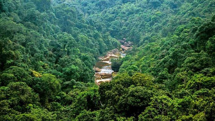
However, the Northeastern states, which together account for 23.75 per cent of India’s total forest cover and are among its biggest biodiversity hotspots, saw a decrease of 1,020 sq. km of forest cover between 2019 and 2021.
Arunachal Pradesh, Nagaland and Manipur saw the highest loss of forest cover among all eight Northeastern states — 257 sq. km, 235 sq. km, and 249 sq. km, respectively.
“The loss in forest cover and forest canopy may be attributed to shifting cultivation, felling of trees, natural calamities, anthropogenic pressure, and developmental activities,” the report said.
It also showed that 45 per cent of India’s forests will fall under climate-change hotspots by 2030 if the country continues to emit greenhouse gases at a moderate level.
The India State of Forest Report has been mapping the country’s forest and tree cover since 1987. Among its primary aims is to track the country’s performance on its long-term goal to increase forest and tree cover to 33.3 per cent of its total geographical area, under the National Forest Policy, 1988.
Also read: Forest cover declined by 22.62 sq km in 52 tiger reserves in last 10 years: Study
Forest cover and tree cover
The report maps tree canopy cover using remote sensing, satellite imagery, and ‘ground truthing’ and combines its calculations of forest cover and tree cover to arrive at the final figure.
Forest cover is defined as any piece of land over 1 hectare with a tree canopy cover of more than 10 per cent, including plantations like bamboo, tree orchards, and oil palm. Tree cover refers to patches of trees in an area less than one hectare, including isolated trees outside recorded forest areas.
According to the report, India’s forest cover currently stands at 7,13,789 sq. km (71.3 million hectares), or 21.71 per cent of India’s geographical area. This is 1,540 sq. km higher than the 2019 figure.
Total tree cover is estimated to be 95,748 sq km, or 2.91 per cent of the country’s area — up by 721 sq. km from two years ago.
Himalayan forests vulnerable
Apart from forest and tree cover, the report also looks at carbon stocks (how much carbon can be sequestered through forest materials), mangrove cover, and maps climate change hotspots. It also puts into perspective India’s climate change pledges.
At the COP26 in Glasgow 2021, India pledged to reduce its carbon emissions by 1 billion tonnes by 2030. Six years earlier, at the COP21, India pledged to create a carbon sink worth 2.5-3 billion tonnes through additional forest and tree cover — also by 2030.
However, according to the report, India’s carbon stock currently stands at just 7,204 million tonnes.
Based on temperature and rainfall data, the report also makes projections for 2030, 2050, and 2085, mapping forests that will fall under climate change hotspots based on different emissions scenarios.
If carbon emissions continue to rise “moderately”, 45 per cent of India’s forests will become “highly” vulnerable to climate change by 2030. In a high emission scenario, that number rises to 65 per cent by the same year.
“Forested grids in the western Himalayan region and from the Northeastern states are consistently appearing as climate change hotspots across various climate scenarios in three selected time frames,” the report said.
(Edited by Amit Upadhyaya)
Also read: If this ‘doomsday’ glacier melts, there will be global floods and vanishing of islands


