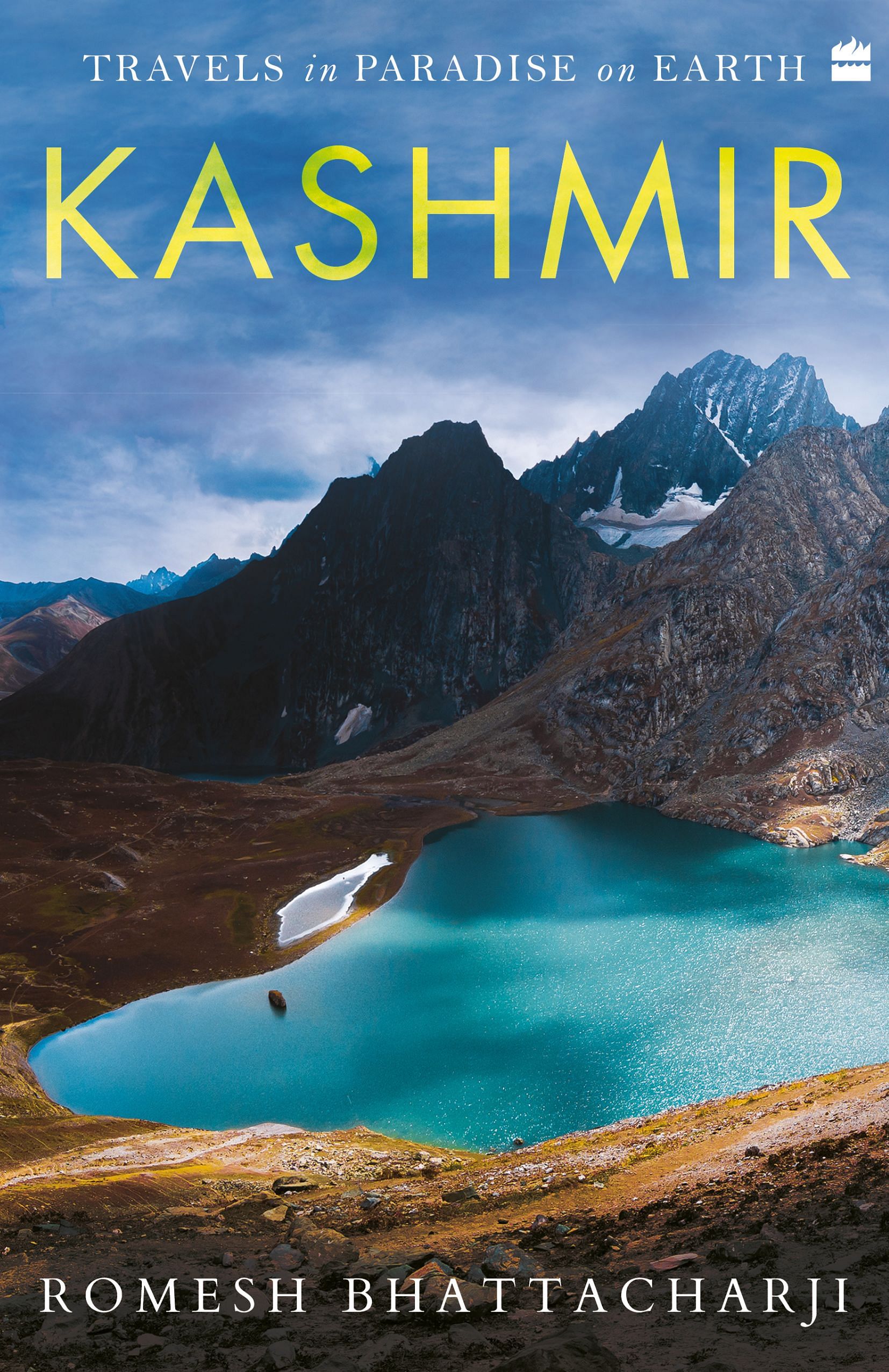
There is no end to Kashmir’s variety and extraordinary beauty. You see Sheeshnag and you are overwhelmed by its solemn majesty. And you think there’s nothing like it. Then you see the soaring rock peak of Haramukh above Gangabal lake or the Lidderwat or Bangus meadows, and again emotions are indescribable. At ice floes filled Kounsarnag mind and heart keep drumming till your eyes literally ache taking in so much of magnificent elegance.
If only conditions were peaceful, Kashmir would have had more nature lovers than it could have handled. Six decades ago, a stupendous fortnight-long trek from Drang on the Ferozepur nala to Kounsar and nearby nags (lakes) was popular amongst some students of St Stephen’s College, Delhi in the autumn break. These days no one from the plains can even recollect such scintillating walks, but thanks to young Kashmiris these routes to Elysium are alive on YouTube.
Media-fanned uncertainty scares away people from the rest of the country. Then in areas close to the LOC army restrictions end any trysts with nature. While the eastern side of Kashmir Valley allows uninhibited trekking, the west is still subject to restrictions. During a particularly distressing time of over-reaction by the army after killing of an innocent in July 2010, I was trekking to Gangabal. On the path there were only foreigners and Kashmiris. The latter were escaping the army and the former the heat of north India’s plains. Kashmiris were delighted to see me and were very friendly. They asked me to go back to ‘India’ and tell them how considerate and hospitable they were. Of that there is no doubt.
The Pir Panjal on its way east looses altitude and its threatening aspect of steep rock faces for a while. Even the pretty lakes that used to ornament its base are no more. There is yet another well-connected corner of south-west Kashmir that is still heavily forested but not often visited or even publicized as worth visiting. Kashmir is so blessed with appealing spots that all cannot be given equal attention or minimum facilities.
Nunkhel gali (3980 m), Pazmal gali (3045 m), Mandu peak (4010 m), Didam gali II (3930 m) and Nussu gali (3240 m) are almost the last passes before Banihal. Within their snowfields and springs are the sources of a few streams like Sikwas and Nunkel nar. They combine to form Kandai kol. It’s a tributary of the Veshav, which it meets at the village of Damhal Hanzpora near the pillars of an old bridge across Veshav. The forests above its course hide delightful bowls of meadows, doka-dotted alps and pretty villages. Another attraction of this picturesque corner is accessibility, with roads reaching quite far up the Kandai kol. These roads divert from the main ones along the Veshav river to Kulgam and Anantnag on the NH 44.
Beyond Nussu gali (3240 m) and before Banihal pass (2382 m) is an interesting pocket of a few villages in south Kashmir containing streams and small valleys that are to the north of the Pir Panjal range but are in Ramban district of Jammu to the south. The largest of these villages is Rujlu. Topographically, they ought to be in Kashmir. Nearly all these brooks become one large stream called Pachhagam and that flows into the Jhelum above Qazigund in the Valley. The villagers in this enclave find it easier to go to nearby Qazigund, and then take the train or bus to Ramban rather than go south over a high Pir Panjal ridge and after a long torturous journey down the Mangat nala reach Banihal town and then the district headquarters at Ramban.
Before the Pir Panjal range descends to Banihal pass is a pass called Nyusu gali (3240 m) between two peaks called Sundartop (3880 m) and Houen Heng (3909 m). This pass was once called False Banihal by pilots flying in and out of the Valley fifty years ago. This pass has a deceptive similarity to Banihal Pass even though it is about 1000 m higher (Map 19) and is about 18 km west. This rough map shows how close they are. An error of a degree and—crash!
On the 7 February 1966 an Indian Airlines Fokker Friendship plane took off from Srinagar for Delhi in low clouds and about 15 minutes later crashed 100 m below Houen Heng peak killing all 37 people on board. The cause was navigational error due to inclement weather.
This peak can be reached from Kulgam via Damhal Hanzpora and the road head at Iron Bridge within two days from Srinagar. As is usual in Kashmir, it’s a satisfyingly pretty and exciting short trek along green valleys of the Kandai kol and its tributaries. This weekend trek is popular with youthful Kashmiris attracted not only to its myriad charms and extensive views but also by a desire to hunt for bits and pieces of the air crash. The view to the north from Sundartop and Houen Heng reveals the entire Valley and mountains girding it and beyond. To the south are the plains of Punjab and of Pakistan.
Houng Heng, which is 3909 m, is confused for the slightly higher Didam peak (4209 m), which is about 500 m to the south of it. Didam peak is to the east of Didam gali II (3930), and has a treacherous and steep climb from the north and a steep and easy descent on the Jammu side.
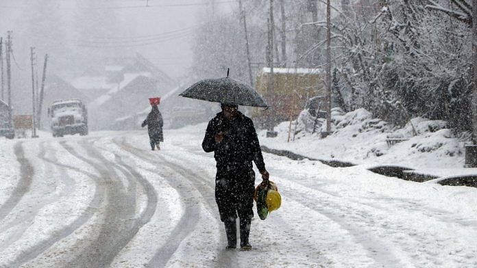
The Pir Panjal descends to Banihal pass (2832 m) and then steeply regains height to the sources of the Sandran and Bring rivers and beyond. Banihal means ‘heavy snow’. And in winter this pass, despite the tunnels, remains cut off for days because of snow drifts and avalanches.
The Veshav meanders peacefully in the plains of Kulgam district with most of its water channelled through canals to fertilize innumerable fields and orchards. No more seeing a small ridge of a solitary peak. From many places in the karewa sprinkled Vale of Kashmir one sees expanse upon expanse of Pir Panjal’s ridges and peaks from miles away—on a clear day naturally.
At Banihal ends the description of the mountains that girdle the Kashmir Valley. The circle is complete. Now to the Valley.
 This excerpt from Travels in Paradise on Earth: Kashmir by Romesh Bhattacharji has been published with permission from HarperCollins India.


