



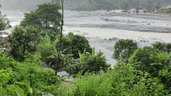
Bidur/Nuwakot: 17-year-old Arjun Bhatta was riding his Honda bike with a friend, along his usual route by the Trishuli River, when he saw it thundering down. There was no warning, just what he saw with his own eyes.
“I had no time to think; we just left the bike and ran uphill, climbed to the highest point above the river,” he told ThePrint, showing the scratches on his palm from the climb. “By the time we looked down, the bike, the road, it was all gone.”
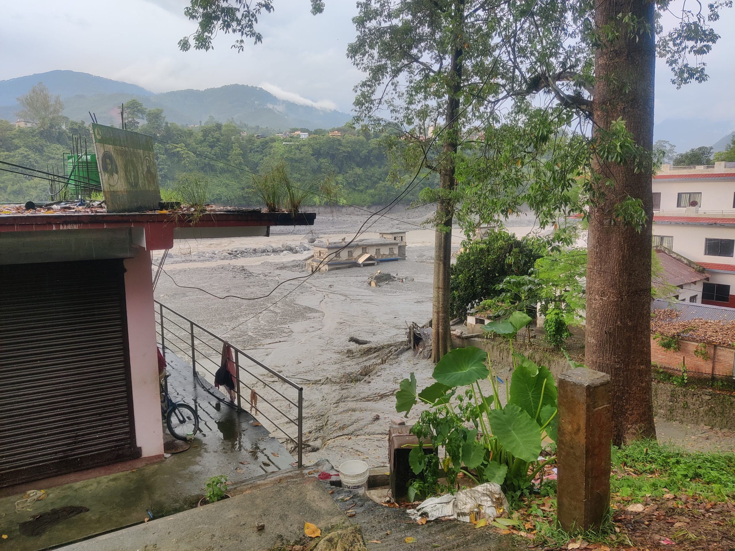
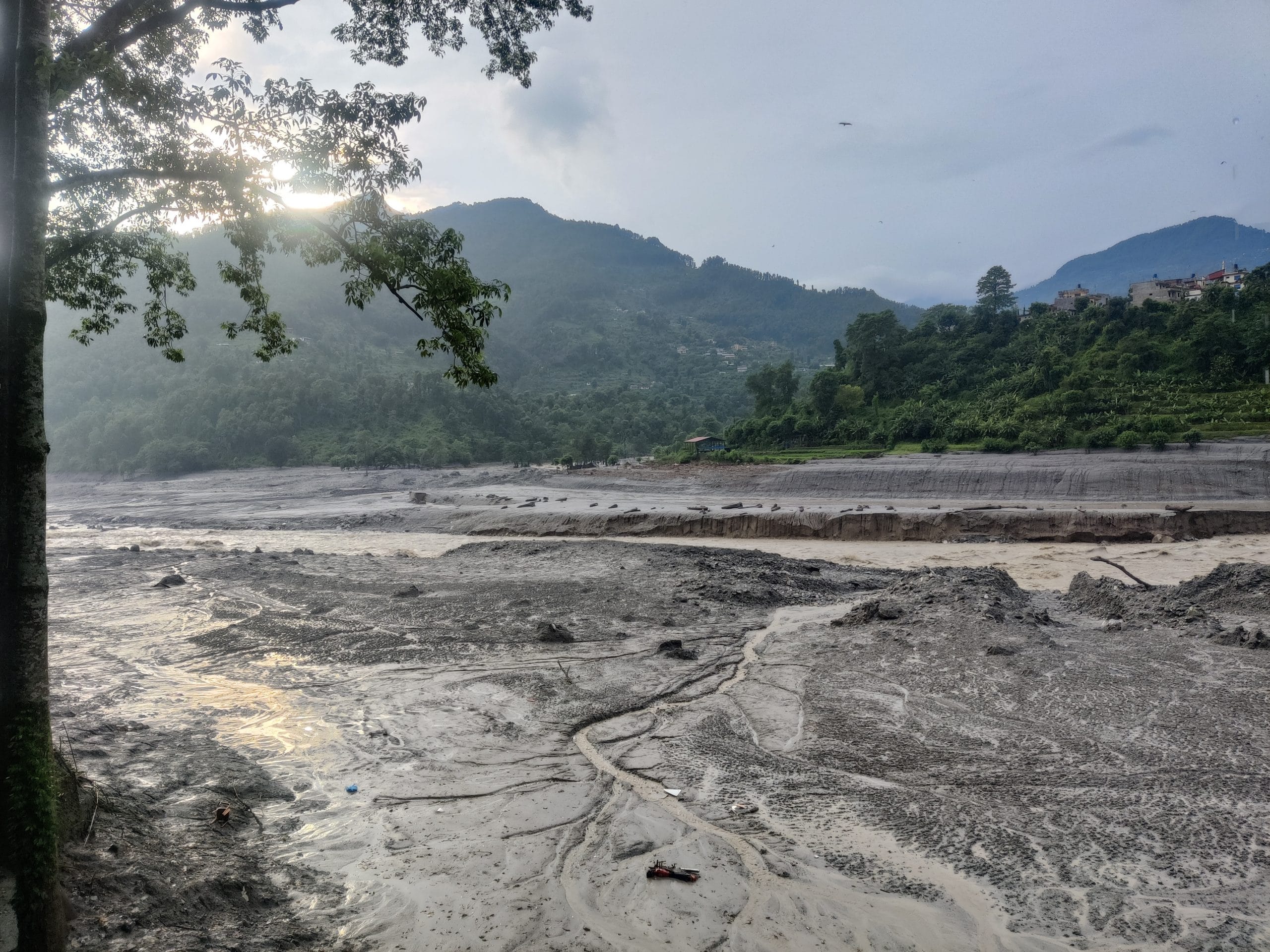
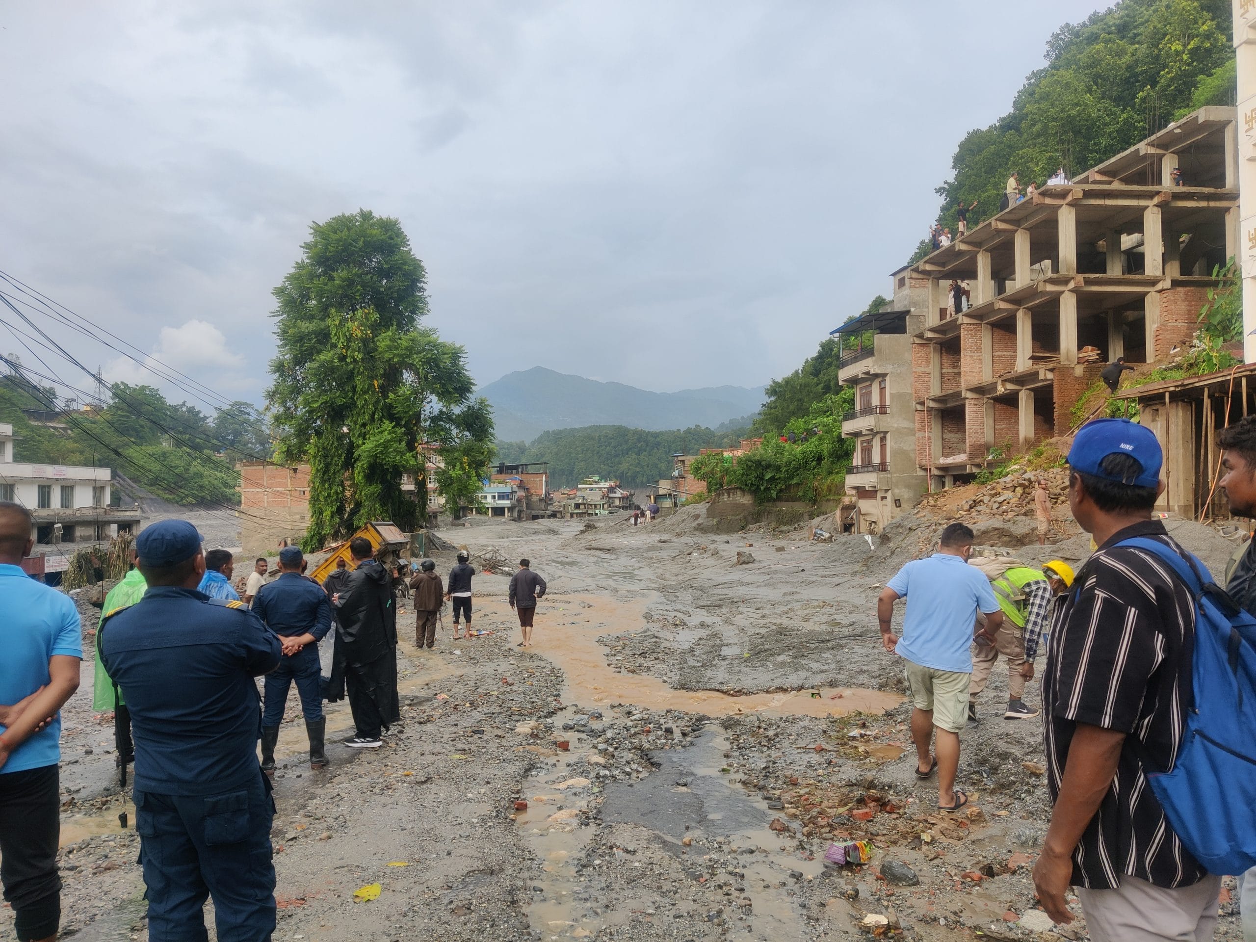
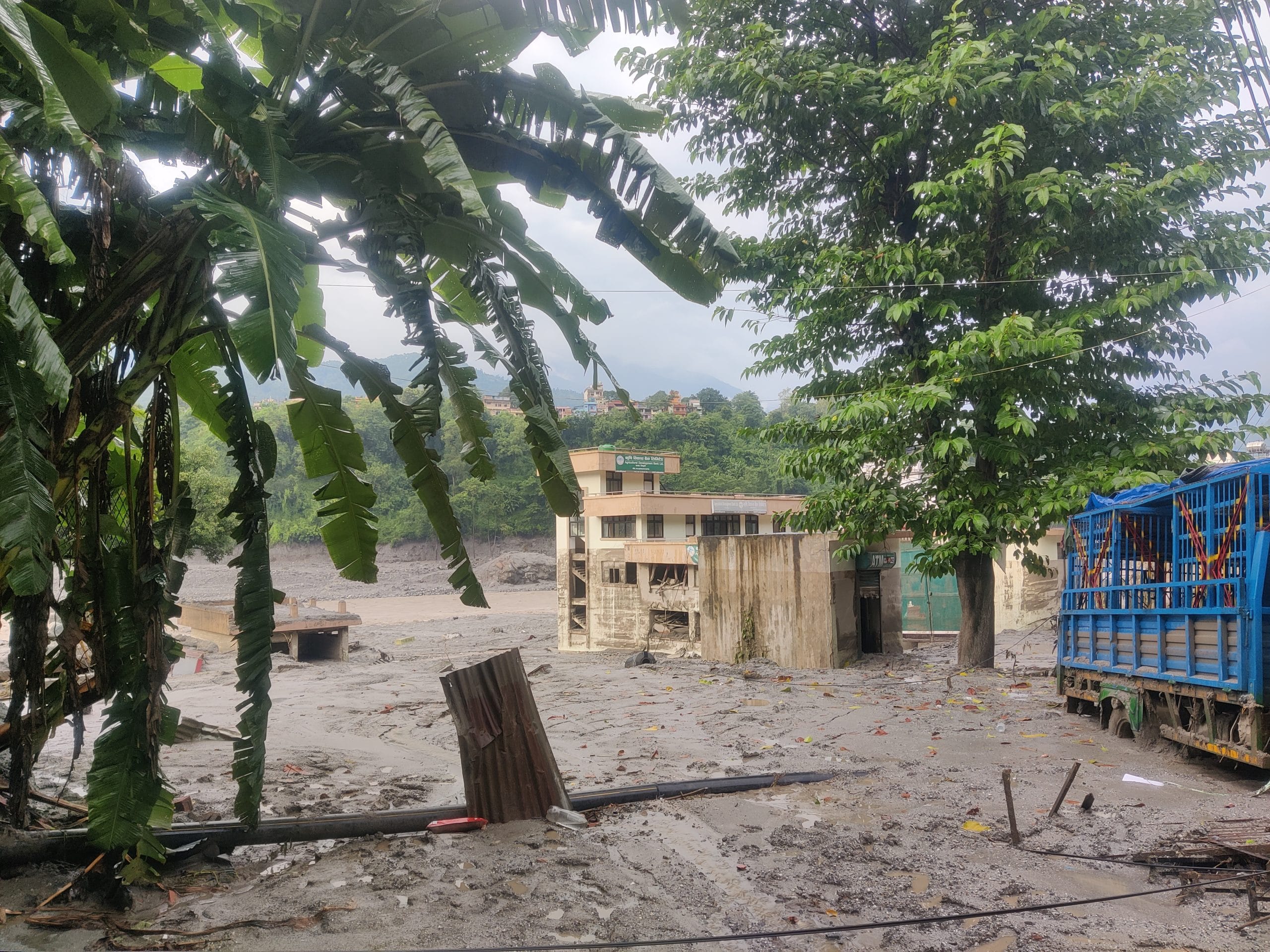
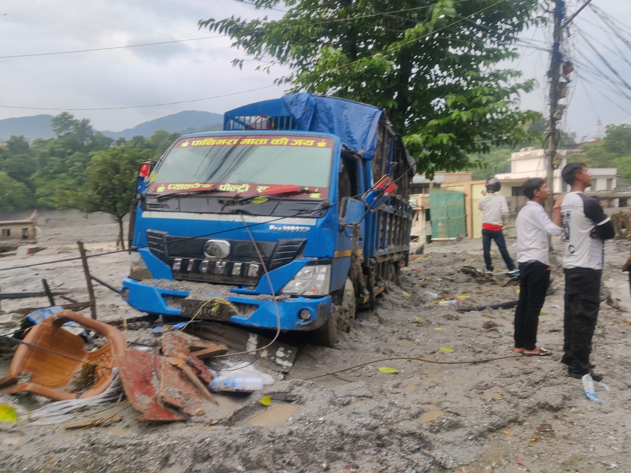
Bhatta was one of the few lucky survivors of the devastating flash floods in the Bhote Koshi and Trishuli Rivers in northern Nepal on 26 August. More than 600 people have died, and over 2,000 are missing after a part of a glacier collapsed into the Lhende River in Tibet, sending a wave of debris, water and mud through the Bhotekoshi River in the Rasuwa district along the Nepal-Tibet border.
For survivors and eyewitnesses across Rasuwa and Nuwakot districts, it all happened within seconds. Some were going about their day like Bhatta; others were working directly on the Trishuli River, on bridges, hydroelectric projects, and tunnel constructions. Most of them escaped by running uphill, but all of them attest to the lack of timely early warning signals like messages, sirens, and public announcements.
“I got an SMS alert right when I saw the flood advancing,” said Arjun Remal, who was working on a bridge near Mailung on the Trishuli River, adding, “It gave my team and me just enough time to run, but I don’t even know if others got that.”
As Nepal, Tibet and China probe the cause of the glacier collapse, one concern is clear: Nepal needs stronger early-warning systems.
By virtue of being downstream, the Himalayan nation has a long-standing gripe with Tibet’s (somewhat delayed) alerts, yet there’s a second blind spot too. Upstream information is only useful if Nepal can act on it, and repeated Rasuwa floods have shown existing coverage gaps in sirens, community warning systems, and proper evacuation routes in Nepal.
“Our learning from this event is that we weren’t prepared — to either detect the disaster or warn against it,” said Binod Parijuli, senior hydrologist at the Nepal Department of Hydrology and Meteorology.
“We’re thinking seriously about how to ramp up our systems for the future, because it wasn’t enough for a flood of this magnitude,” he added.
Nepal’s early warning system
The first “early-warning system” for disasters dates back to 1998 in Nepal, when the Department of Hydrology and Meteorology set up solar-powered sirens near the Tsho Rolpa Lake in northeastern Nepal to warn in case of a glacier lake outburst flood (GLOF).
Yet, these disparate measures turned into a comprehensive disaster risk assessment and warning system only after the 2015 earthquake, in which around 9,000 people died.
“The earthquake taught us that we need to move from responding to disasters to preparing for them. That laid the foundation of everything we have today,” said Anil Pokharel, former CEO of the National Disaster Risk Reduction and Management Authority (NDRRMA).
The NDRRMA was a direct result of the earthquake. Following this, the Nepal government in 2017 passed the Disaster Risk Reduction and Management Act and formed an organisation that would coordinate risk assessment, monitoring, hazard mapping, and disaster warning systems.
In 2019, after NDRRMA was officially established, Pokharel and his colleagues worked to set up an integrated system — they mapped the entire country’s hazard risk from floods, landslides, GLOFs, and earthquakes, curated real-time weather data from other departments like hydrology and irrigation, and provided a tiered early warning structure.
“It’s not just at the country-level, but every district, province and municipality must be equipped with relevant disaster information to disseminate warnings,” explained Pokharel.
At the same time, the United Nations Development Programme, too, was working with the government to set up automatic weather sensors along the country’s major rivers like Koshi, Narayani, Bagmati, and Karnali, which largely originate in Himalayan glaciers in Tibet.
Currently, the data from around 200 hydrological stations and 360 automatic weather stations feed into NDRRMA’s BIPAD portal, an open-access integrated information system that then goes on to disseminate alerts at the district level.
These alerts are then transmitted to citizens in the disaster zone through SMS alerts, public announcements and emergency sirens.
Dil Bahadur Moktan, a 45-year-old farmer and resident of Rasuwa, remembers the message he received last year before the floods on 8 July 2025, in the same region that flooded again this year. Even then, he recalled there were no sirens or other warning measures in place.
“My wife and I got an SMS alert. It was early morning; we were heading to the fields. It was maybe 10-15 minutes before the flood hit, and we were able to escape safely with our family. But that’s because we were downstream of Timure, the border, where they got no warning at all,” recalled Moktan, who escaped this year’s flood as he was in Kathmandu.
Also Read: An SMS alert gave workers in flood-hit Rasuwa 30 seconds to run—‘Water was rushing in’
Coverage gaps in EWS systems
The NDRRMA has, over the years, worked on integrating a “multi-modal” early warning system, which includes SMS alerts along with automated sirens, public announcements, and also volunteer networks to help evacuations.
And there is evidence that these systems have worked, but only in some places.
In 2020, when severe rainfall triggered floods in Kailali district in southern Nepal’s Terai plains, many people were evacuated based on SMS alerts. Similarly, the UNDRR reported how monsoon flooding in Nepal’s Kairali and Koshi Rivers is being managed thanks to a robust EWS system.
A 2017 study by UK scientists showed that advanced forecast methodology in the Karnali River provides citizens with a 7-8 hour warning before floods. But civilians in Rasuwa did not get that luxury, either last year or this year.
While certain basins like Karnali and Rapti have strong EWS measures, automated sirens and even community-led evacuation protocols, many others such as Bhetakoshi and Upper Trishuli lack these systems. This also contributes to disproportionate flooding impacts, especially in terms of human lives.
“We have tried establishing sirens and community-warning systems everywhere, but it takes time, and since these additional measures are not nationally mandated, they’re not uniformly implemented,” said Pokharel, adding that it is an area that is being worked on now.
But for him, a larger issue is the looming crisis of the lack of information itself in regions close to the border, such as Rasuwa.
Despite the open-access climate and weather data ecosystem that Nepal has managed to build in BIPAD, there is still one thing missing: information about rivers that originate in Tibet. This oft-repeated challenge is stated as the main reason behind the lack of early warnings in Rasuwa last year and this year.
“We only received data after the floods had already entered Nepal, and that was when we began sending alerts,” said Parijuli.
“We could save some downstream people but not upstream, not at the border.
Also Read: Most painful was to see rescued mothers asking about their children—Nepal Red Cross chief
China-Nepal information sharing
All four of Nepal’s major river systems find their origins in Tibet, administered by China, which has been a long-standing concern for the country’s flood planning. Even after decades of bilateral relations and acknowledgement of shared Himalayan ecology, there exists no formal agreement for real-time glacial and river data sharing between the two countries.
“In the ten years that I’ve worked in disaster management, alerts from Tibet would come in the form of phone calls from their border villages, or district officer counterparts in Tibet. There wasn’t a designated information-sharing portal or system,” said Pokharel.
Karnali, Nepal’s longest river, rises near the Tibetan Plateau and enters Nepal through the Humla municipality, a remote, high-altitude region in the northwest. Similarly, the Trishuli River’s infamous Bhotekoshi tributary, which flooded on 26 August, originates from Lhende Khola, a Tibetan glacier-fed river. The Koshi system draws water from Tibetan headwaters, including the Arun and Sun Koshi, which plunge south through the Himalayas.
This geography leaves Nepal downstream of most hydrological hazards, from glacial lake outbursts to sudden surges and landslides. Without access to information about what’s happening upstream, the country runs the risk of reverting to its pre-2015 “reactive” response mode, rather than a preemptive one.
“Because of the transboundary nature of glaciers, cooperation is required between the countries affected in terms of data sharing, monitoring of potentially hazardous glacial lakes, establishment of early warning systems,” said a 2005 International Centre for Integrated Mountain Development (ICIMOD) report.
It’s not like there haven’t been efforts in the past.
“The Bhotekoshi flood has also reemphasised the need for transboundary cooperation. The floods in the Bhotekoshi River originated in Tibet, China, but caused destruction downstream in Nepal,” said a report by ICIMOD in 2016, when a similar flood occurred in Bhotekoshi.
In 2017, under the Belt and Road Initiative MoU, China and Nepal agreed to cooperate on environment and disaster management, and also allowed them to share information regarding multiple subjects.
When Chinese President Xi Jinping visited Nepal in 2019, the two countries signed a joint statement, which reiterated collaboration on environmental protection. Last year, when Rasuwa flooded due to a GLOF event, Nepal once again asked for timely warnings and information-sharing from China.
Yet, real-time weather information alerts and sharing remained unofficial and uncoordinated. After the floods in August, China began sharing updates on the lake formation and overflow alerts in the Purepu Tsangpo River, where the glacial collapse event had occurred. However, for long-term information, there’s still a long way to go, at least, according to Nepali authorities.
“To disseminate information, we must first get information, which means we need to ramp up monitoring of all glacial systems. For the Rasuwa floods, even China was caught off-guard, so they too must increase their monitoring systems in this area particularly,” said Parijuli.
Parijuli also added that Nepal has to increase warning systems and alert provisions to tourists and pilgrims, especially the hundreds who travel to Kailash Mansarovar every year through Nepal.
“It is in the final stages of planning. We need a system that can provide forecasts to international SIMs as well, since tourists won’t get our domestic SMS,” he said.
Long-term measures needed
Even in the ecologically vulnerable Himalayan state of Nepal, the floods of 26 August are being called an anomaly: the sheer magnitude of the glacial collapse and the breadth of destruction puts this event squarely into the category of one of the worst disasters of this century.
“We, in Rasuwa, see small floods almost every year, including last year. This wasn’t a flood. It was a catastrophe,” said Prem Tamang, a local farmer, who escaped the floods narrowly as he was uphill when the deluge came.
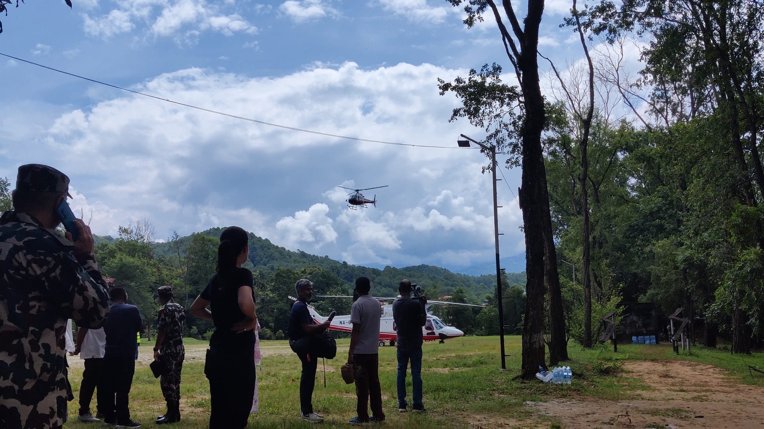
At the Nepal Army campsite in Bidur, though, he is still searching for his wife’s relatives, who were pulled from their homes by the wave.
Milling about the camp among army men, rescued civilians, and families of missing people, Tamang stops often to talk to other eyewitnesses and share his own account. From his friend’s house some 200m uphill, he remembers a cascading wave of debris and water, something like he had never seen before.
“It was this high,” he gestures with his hands to Arjun Remal, another eyewitness who saw the deluge in the Mailung region of Rasuwa, saying, “It didn’t feel like our river at all.”
While Tamang, Remal and Makton’s accounts express shock and disbelief, researchers at the ICIMOD have been warning of the changing features of Himalayan glaciers for years now.
The Kathmandu-based international organisation, which is currently working with the PM Office in Nepal to support relief efforts and risk management, has repeatedly said that Himalayan countries need to work together to understand the impacts of climate change and global warming on glaciers.
“We have to collaboratively monitor high mountain environments in our region, especially glaciers and glacial lakes,” said a 2021 ICIMOD report titled “The Fragility of Our Mountains.”
“Knowledge and data sharing is instrumental in not only minimising potential barriers to development but also saving lives,” the report added.
Back in Bidur’s army camp, Rajan Shrestha, has come all the way from Kathmandu to search for his brother, Sudip Kumar Shrestha, who was working in a tunnel in the Upper Trishuli region. When he sees a woman crying upon hearing the news of her husband’s death in the floods, he averts his eyes.
“I don’t want to believe the worst. Maybe he survived … people have escaped with just a few seconds warning. He knows the hazards of the job in the tunnels. Maybe he escaped. I hope someone warned him in time,” he says.
(Edited by Insha Jalil Waziri)