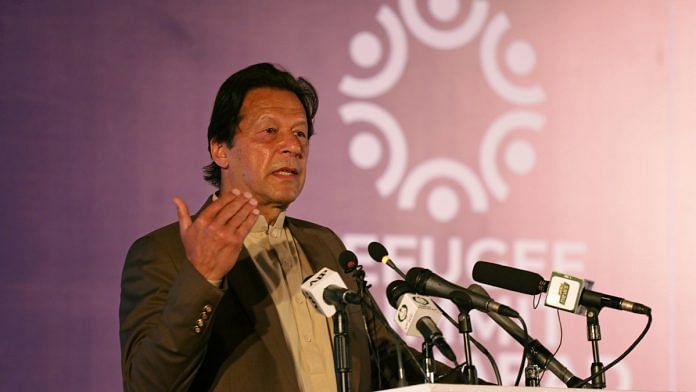
Islamabad/New Delhi: In a provocative move, Pakistan on Tuesday unveiled its new political map showing the entire Jammu & Kashmir and parts of Gujarat as its territories, drawing the ire of India, which dismissed it as ridiculous assertions that have neither legal validity nor international credibility .
“We have seen a so-called political map’ of Pakistan that has been released by Prime Minister Imran Khan. This is an exercise in political absurdity, laying untenable claims to territories in the Indian State of Gujarat and our Union Territories of Jammu & Kashmir and of Ladakh, the Ministry of External Affairs said in a brief statement in New Delhi.
“These ridiculous assertions have neither legal validity nor international credibility. In fact, this new effort only confirms reality of Pakistan’s obsession with territorial aggrandisement supported by cross-border terrorism, it asserted.
Earlier, Prime Minister Khan released the new political map of Pakistan and said it was approved by the federal Cabinet on Tuesday.
The new map showed Pakistan frontier clearly marked with India with the entire Kashmir as its territory. However, the part of Kashmir and Ladakh border with China was not marked and described as Frontier Undecided .
Similarly, the Line of Control had been extended to the Karakoram Pass, clearing showing Siachen as part of Pakistan. The LoC had been marked by a red dotted line.
The J&K had been described as Disputed Territory Final status to be decided in line with relevant UNSC resolutions .
Another change in the map showed that the international border lines lies along the eastern bank of Sir Creek, which was previously along the western bank.
The Pakistan cabinet also approved the decision to rename a major road in Islamabad as Srinagar Highway. The road was previously called Kashmir Highway.
The controversial changes in the map by Pakistan were made a day before the first anniversary of India’s decision to revoke the special status of Jammu and Kashmir on August 5, 2019.
Also read: The cost of speaking truth to power in Imran Khan’s Naya Pakistan — you might not return home


Absolutely this is a ridiculous action of Pakistan Govt. headed by PM Imran Khan . I think it is Pakistan’ response to the announcement of our Home Minister saying that the so called POK and Gilgit-Baltistan would be recovered as soon as possible and it is India’s next task. It is clearly seen that Pakistan is rattled by that announcement. No country in the world including UN Security Council will accept this map. The inclusion of Junagadh , former tiny princely State in Gujarath of India, as its part of Pakistan, is laughable, and absolutely childish. Then in that case Pakistan should have included former Hyderabad Nizam area (present day Telengana State in South India as its territory, as the then Nizam of Hyderabad wanted to join with Pakistan in 1948-49. But for the action taken by our then first home minister Sardar Vallabhai Patel , this area would have gone to Pakistan , and would have been called as “South Pakistan”. General J.N.Chaudhry, who was then Major General at that time , was the commander of Indian Army , which took Police Action to force Nizam of Hyderabad to join with India. Even the princely State of Jodhpur ruled by a Hindu ruler in Rajasthan was considering to join with Pakistan . Nepal has done something which is absolutely foolish and childish, Pakistan should not have thought to copy Nepal. It is wonder that major opposition parties in India have not commented on this action of Pakistan. Pakistan got this courage , because of the task of recovering the full State of J & K was left half done by the then Govt. of India in 1947-48.
What is so surprising? I have seen a map of Pakistan, in one of its Gulf embassies. The ENTIRE jammu and kashmir, plus, 2 amoeba shapes. For Junagadh and Manavadar.
My 6 yr old is suddenly optimistic as well. He has been drawing all of Asia as part of India. Jokes apart, one must feel sorry for Pakistan, tried everything from war to terrorism, now its all upto a map! Atleast a map drawing will not ruin its economy and harm already tattered global standing, but will certainly ensure global humiliation and acknowledgement as a Banana republic!
As usual Pakistan dimwit policy at display. Firstly it exposes Pakistans real goal to the few fellow Indian Kashmiri brothers and sisters who may still believed in Paks rhetoric of Independence choice. Its clear now all Pak wants is territory. Secondly, what about Aksai Chin and Shaksgam valley? Why are they missing here?