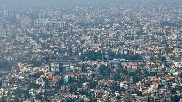
New Delhi: Spatial planning is needed to address challenges due to urbanisation and also to ensure that fast-urbanising districts do not remain a “blind spot” and get necessary “policy attention”, a survey by a Bengaluru-based think tank has said.
Urban development experts maintain there is a need for better planning and coordinated development for rural and urban areas in districts, given the scale of infrastructure development underway in the country.
The “Annual Survey of India’s City-System (ASICS) 2023” by Janagraaha assessed the urbanisation status of districts in India according to the 2011 Census data and highlighted the need for detailed planning at district and ward levels for sustainable development of urban areas.
“Of the 72 districts, 21 districts that are significantly more urbanised are from eight states consisting of Arunachal Pradesh, Assam, Bihar, Chhattisgarh, Odisha, Uttar Pradesh, Himachal Pradesh and Meghalaya that have low levels of urbanisation,” it added.
According to the 2011 Census, the urbanisation level was above 41 percent in eight districts in UP including Agra, Gautam Buddha Nagar, Meerut, Varanasi and Jhansi.The state’s level of urbanisation was 22.27 percent — below the then national level of 31.1 percent. Similarly, Jharkhand was in 2011 home to five rapidly urbanising districts including Bokaro, Dhanbad and Ranchi.
The situation on the ground, urban development experts say, has changed and a large number of rural areas are fast getting urbanised due to large-scale development in and around them. In that vein, the report suggests focusing on districts which are fast urbanising. “It is crucial that such fast urbanising districts do not remain blind spots and receive the policy attention they need,” read the report by Janagraaha.
Three-tier spatial planning
The 74th Constitutional Amendment made a provision for a district-planning committee (DPC) for “coordinated regional planning at the district level across both rural and urban areas”, the report said, revealing that only nine states have constituted the body.
It added: “Even as DPCs remain an unfulfilled Constitutional agenda for local self-governance, districts are de facto emerging as units of urban governance through the role played by district collectors. For example, the district collector is the member secretary of the District Level Advisory and Monitoring Committees (DLAMC) in cities less than 40 lakh population set up to oversee, review and monitor key programmes of MoHUA (Ministry of Housing and Urban Affairs).”
Meanwhile, for large cities, the think tank pushed for Metropolitan Planning Committees, which like the DPC were also envisaged in the 74th Constitutional Amendment, but are “non-existent/dysfunctional”. To address the challenges of rapid urbanisation in big cities, Janagraaha has recommended a three-tier spatial planning model.
Srikanth Viswanathan, chief executive officer of Janagraaha, said, “There is a need for three-tier spatial planning process comprising a regional plan for a metropolitan area, a municipal plan for the city government area, and a ward plan at the neighbourhood level, all in a nested structure with concurrent timelines.
“The regional plan can be for 20 years, whereas there could be two 10-year plans for municipal areas and four five-year plans for ward level.”
Need to bridge urban-rural divide
Urban planning experts say there are several rural areas near cities which are getting urbanised without planning.
N. Sridharan, former director of the School of Planning and Architecture in Bhopal, told ThePrint, “With increasing access to cities through highways, mobility and income increase, villages across India are experiencing rapid urban character & built-up area.
“But there is no land use governance in rural areas in many of the States Acts including Town and Country Planning Act. There is an urgent need to focus on spatial planning and become an important economic engines beyond cities.”
(Edited by Tikli Basu)
Also read:Govts invoking crisis clause in Electricity Act hurts private players. Start storing instead


