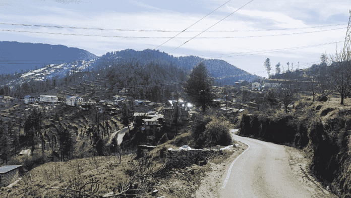
New Delhi: Unusually high temperatures across Jammu, Himachal Pradesh, and Uttarakhand are likely to fall by Monday, thanks to the development of a western disturbance over the region, the India Meteorological Department (IMD) said Sunday, adding that isolated heatwave conditions are likely to persist in Kutch, Gujarat.
Parts of north India have been facing higher-than-normal temperatures over the past few days — according to an analysis by the Hindustan Times, seven states, including Punjab, reached maximum temperature levels typical of mid-March.
According to the IMD, Himachal Pradesh, Uttarakhand and parts of Jammu have witnessed temperatures 6 to 11 degrees higher than normal. In these parts, the presence of a western disturbance is likely to bring some relief to the Himalayan states, the IMD says.
Western disturbance is a weather phenomenon in which an extra-tropical storm originating in the Mediterranean causes rain in north and northwest India during winter, driven by westerly winds.
According to the IMD, light to moderate rain and snowfall is expected in several parts of Jammu and Kashmir, while Uttarakhand and Himachal Pradesh are likely to see “scattered” rain and snowfall from 19 to 21 February.
Isolated and heavy rainfall is expected over Arunachal Pradesh during the same time period.
However, in parts of Gujarat and Maharashtra, the maximum temperatures are likely to be in the range of 37 to 39 degrees Celsius for the next two days. Gujarat’s Bhuj has already recorded temperatures over 40 degrees — the highest in February in the past 71 years.
Meteorological experts say the unusually high temperatures over parts of India are because of weak western disturbances that haven’t brought adequate winter rain.
“In the month of November and December, there were no significant western disturbances and the weather was quite dry as there was no rainfall snowfall,” Mahesh Palawat, vice president of Skymet weather, told ThePrint. “In January, we have seen intense snowfall because of western disturbance, but again from February, the intensity of western disturbance has reduced while the frequency has increased.”
He added that these successive western disturbances are weak and are blocking northerly winds, which are cold and dry.
In a Twitter thread, meteorologist Navdeep Dahiya said that an anticyclone over India has also exacerbated the warm temperatures over Gujarat and Maharashtra.
An anticyclone is a phenomenon that gives clear skies and no rain and is typical of March.
Spring breaker #Heat ahead ?️
A very early and strong anti cyclonic circulation is dominating the atmosphere over #India has already resulted in one of the earliest 40°c maximum temperature in India, Today #Bhuj in #Gujarat recorded 40.3°c, also broke its ATR.
What's next?
1/n pic.twitter.com/ovTeLLUite
— Weatherman Navdeep Dahiya (@navdeepdahiya55) February 16, 2023
Also Read: India’s early heatwave sign of climate change, could be more dangerous to health, say experts
The El Niño effect
According to the Hindustan Times, which analysed MD data for the week ending 16 February, the seven states to have witnessed abnormally high temperatures typical of March are Odisha, Himachal Pradesh, Gujarat, Rajasthan, Chhattisgarh, Jharkhand, and Punjab.
R.K. Jenamani, a senior scientist with the IMD, told ThePrint says that since high temperatures in these areas haven’t stabilised, it’s too early to say with certainty what the effect might be at the onset of summer.
“Weather systems are coming, but they are weak. Temperatures have been rising in the last 14 days, and on day 15, you will have a temperature that is more than 5 to 7 degrees above normal, which is significant. But it could fall tomorrow,” he said, adding that while it may not impact people’s health significantly, its effect on agriculture “cannot be ruled out”.
The US National Oceanic and Atmospheric Administration (NOAA) forecast that an El Niño would develop later this year, after three years of a La Niña.
El Niño is a climate phenomenon that causes abnormal warming of the Pacific Ocean, negatively impacting the Indian monsoon and resulting in higher global mean temperatures.
On the other hand, La Niña is when there is a cooling of the ocean, leading to low pressure over the western pacific and causing more rain in India.
“If we do in fact transition into an El Niño, it will be one of the hottest years. The transition itself will lead to warmer temperatures across the Indian subcontinent,” Deekshith Pinto, deputy editor of Weather.com India, told ThePrint.
Last year, the World Meteorological Organisation, a UN agency, said there was a 93 per cent likelihood that one year between 2022 and 2026 would be the hottest ever on record, and would temporarily breach the 1.5 degree limit set by the 2015 Paris Agreement.
For context, signatories of the Paris Agreement on Climate Change agreed to limit the rise in global temperatures to well below 2 degrees Celsius above the pre-industrial level, preferably to 1.5 degrees, in an attempt to limit the disastrous impact of climate change.
(Edited by Uttara Ramaswamy)
Also Read: Mumbai among cities facing biggest threat as global sea levels rise, warns UN agency WMO


