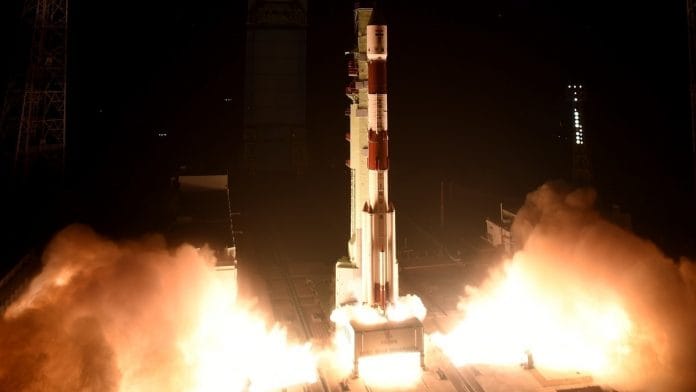
Bengaluru: The Indian Space Research Organisation (ISRO) successfully launched the earth observation satellite EOS-04 in the early hours of Monday, along with two other satellites, on the PSLV-C52 mission. This is ISRO’s first launch of the year, and follows the failed launch of the EOS-03 satellite in August last year.
The EOS-04, formerly known as RISAT-1A, is a land-based earth observation satellite that images using radar. It functions in all weather conditions and is used for agricultural and forestry applications like terrain mapping and soil moisture monitoring. On Monday, it was inserted into a sun synchronous orbit at an altitude of 529 km from the surface.
EOS-04 is the sixth satellite to be launched under the RISAT (Radar Imaging Satellite) programme in the last decade.
The two other satellites were INS-2TD, a technology demonstrator from ISRO with a thermal imaging camera, and INSPIREsat-1, a student satellite developed by the Indian Institute of Space Technology (IIST) to study the ionosphere.
The satellites were launched on the PSLV, which lifted off at 05.59 am from the first launch pad at Sriharikota. It was the 23rd flight of the PSLV in its XL configuration with six strap-on motors. Overall, it is the 54th flight of a PSLV rocket and the 80th launch from Satish Dhawan Space Centre.
“The primary satellite, EOS-04 has been put in a very precise orbit by PSLV-C52. Co-passenger satellites INS-2TD and INSPIREsat-1 have also been placed in the right orbits. This spacecraft is going to be one of the biggest assets to serve the country. We will be back again with another launch of PSLV very soon,” new ISRO chief S. Somanath said in a press conference following the launch.
Also read: PM congratulates space scientists on successful launch of PSLV C52 mission
The satellites
Built at ISRO’s UR Rao Satellite Centre in Bengaluru, EOS-04 carries a synthetic aperture radar (SAR) that can peer through all kinds of weather and clouds, during night time as well. Its data will complement the data from Resourcesat, Cartosat series, and RISAT-2B series, and will be collected in the C-band. It will be used in the fields of plantations, flood mapping, hydrology and more. The satellite weighs 1,710 kg and will function for at least 10 years.
INS-2TD is a precursor to the India-Bhutan joint satellite, INS-2B, built by Bhutanese engineers who were trained at UR Rao Satellite Centre from 28 December 2020 to 25 February 2021.
INS-2TD is a tech demonstrator carrying a thermal imaging camera. It will assess and monitor land temperature, surface temperature of water bodies like lakes and wetlands, delineation of vegetation of crops and forests, and thermal inertia or temperature variation between day and night times. The satellite weighs 17.5 kg and has a mission life of six months.
INSPIREsat-1 is developed by IIST in association with University of Colorado, US, Nanyang Technological University, Singapore, and National Central University, Taiwan. INSPIRE stands for the International Space Program in Research and Education, and was launched in 2017.
The cubesat carries two scientific payloads, one each to study the earth’s ionosphere and to observe the solar flares. Contrary to what its name indicates, INSPIREsat-1 is the third satellite to be launched by the programme — INSPIREsat-2 and INSPIREsat-5 were launched by US giant SpaceX.
Weighing 8.1 kg, INSPIREsat-1 is expected to function for a minimum of one year.
Also read: ISRO chief calls on Jitendra Singh, discusses Gaganyaan programme


