Misrepresentation of Indian map in one of the posters of Vipul Amrutlal Shah’s Namaste England could spell legal trouble for the film.
New Delhi: As India celebrates its 72nd Independence Day, Bollywood filmmakers seem to still be confused about the Indian map.
In one of the posters of Vipul Amrutlal Shah’s upcoming release Namaste England, starring Arjun Kapoor and Parineeti Chopra, the Indian map has been distorted, with the Aksai Chin region left out from the state of Jammu and Kashmir.
https://twitter.com/ParineetiChopra/status/1029228922292989952
Set for an October release, the film, directed and produced by Shah, has been co-produced by Reliance Entertainment.
Legal repercussions?
The poster may spell legal trouble for the Namaste England team.
The misrepresentation of the Indian map constitutes a violation of the National Map Policy, introduced in 2005. Further, the Criminal Law Amendment Act, 1961, criminalises the act of misrepresentation of India’s external boundaries with imprisonment for a term which may extend to three years, or with fine, or both. However, only the Government of India is authorised to complain in such matters.
Shah didn’t respond to calls and texts seeking comment. The story will be updated if and when he responds.
Also read: One year after Doklam, China intrudes again — in Ladakh
The GIRB bill
In 2016, after the Pathankot attack, the Narendra Modi government introduced the Geospatial Information Regulation Bill, 2016 (GIRB).
The provisions in the bill proposes imprisonment up to seven years or fines from Rs 10 crore to Rs 100 crore for individuals and companies which depict the Indian map incorrectly. It further lays down strict regulations for companies like Google Maps, Ola, etc. regarding the distribution of geospatial data.
Due to widespread criticism in response to the draft bill, it remains in cold storage.
Past incidents
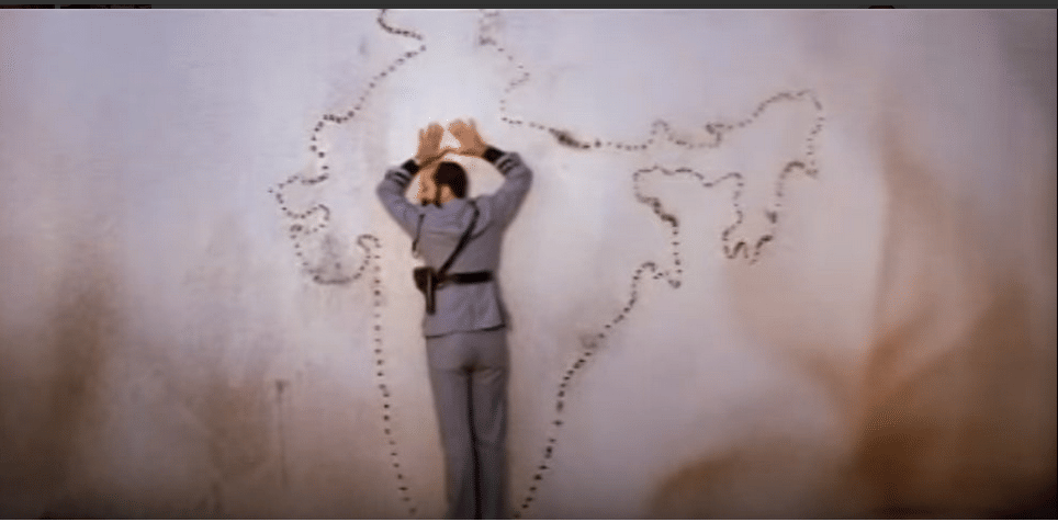
This isn’t the first time, though, that a Bollywood film has got the Indian geographical map wrong. Films like Dilip Kumar-starrer Karma (1986) and Rajesh Khanna-led Naya Kadam (1984) also committed similar blunders.


Earlier this month, the government took objection to the depiction of Jammu and Kashmir and the Indian map in Tom Cruise-starrer Hollywood flick Mission: Impossible — Fallout. The external affairs ministry was even asked to intervene.
The mistake in the poster possibly skipped the notice of the makers of Namaste England but a Twitter user called it out.
https://twitter.com/odshek/status/1029236314196066305
Earlier, the Indian government used to issue blue rubber stamps masking India’s map carried out by magazines and newspapers abroad, with a disclaimer stating that the boundaries shown in the map are incorrect. Domestic publishing of incorrect maps invited warnings and withdrawal orders from the government.
Disputed boundary
Since the 1962 war, the Aksai Chin region has been a disputed border between India and China. When both the countries broke off diplomatic relations in ’62, the ceasefire line was never defined.
As a result, India and China do not have a well-defined border till date, unlike the Line of Control (LoC) between India and Pakistan, resulting in several conflicts over the years.
Also read: This is the first official account of the India-China face-off in Doklam


China has Aksai chin under their control.