





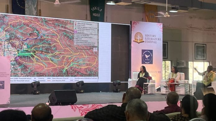

Hyderabad: India’s archaeological map is far denser than what is officially marked, but most of it remains unseen. It is buried beneath time and changing geographies such as farms, settlements, roads and expanding cities. Now, satellite imagery is making the invisible visible.
The panel on Invisible Archaeology: Discovering The Past From Space at the History Literature Festival in Hyderabad argued that the real challenge is not just finding sites, but rethinking how we define, govern and protect heritage landscapes in a rapidly developing country.
The speakers—MB Rajani, Associate Professor at the National Institute of Advanced Studies (NIAS), Kuili Suganya, Senior Scientific Officer (Heritage) at Indian Institute of Technology Gandhinagar and archeologist Disha Ahluwalia—emphasised that archaeology has long depended on visible monuments and excavation-led discovery. But much of the past survives as soil marks, crop patterns, mounds, alignments. Markers not recognisable to the untrained eye.
“We are taking satellite imagery and trying to understand what happened 2,000 years ago. We need to understand what a landscape would have gone through between the time a site was active and now,” said Rajani.
Settlements were linked to water systems, agricultural sites, trade routes and ritual spaces spread across different terrains.
In cities, that change can be dramatic. “When people start moving around the wall of an already deteriorating site, paths become roads,” Rajani said, pointing to Delhi, where lost fort walls survive as road alignments. She added that aerial views provide a more complete picture of such changes.
“If we draw inadequate boundaries, we are not protecting it,” said Rajani.
The danger, she said, is that “when you put a boundary, you’re saying we care about what is inside, and don’t care about what is outside.”
Geographic Information Systems and remote sensing help see the larger landscape, not just the protected core. These tools allow archaeologists to read landscapes at scale—detecting traces of habitation, water systems and cultural features.
Also read: When did Kakatiya queen Rudramadevi die? Answer was under a stone pillar in Telangana
No all-India system
Space-based observation shifts archaeology from site-specific to landscape-scale understanding. This leads directly into the policy gap, which archeologist Disha Ahluwalia brought to the conversation.
Protection is often limited to what the Archaeological Survey of India or UNESCO lists, leaving surrounding cultural terrains vulnerable to construction, mining or infrastructure projects.
“If satellite data can show buried heritage across entire regions, then local governments, who make land-use decisions, must be part of heritage governance. Going deeper into the gram panchayat or local level would make a large difference,” said Ahluwalia.
The “invisible” only becomes archaeological knowledge when satellite data and field archaeology speak to each other.
However, this cannot be uniformly applied across different geographies. “I have been asked many times,” Rajani said, “‘if you can do this for one site, why don’t you run it through an automated system for whole India?’”
But no single method works everywhere because archaeological sites vary by natural setting and weathering, original cultural form, later land-use changes, extent of prior research, and availability of historical and geospatial data. These six variables shape how remains survive, appear, and can be detected, making site interpretation inherently context-specific.
The solution, as the panel collectively suggested, lies in integration. Kuili Suganya grounded this in her field experiences. Remote sensing may reveal patterns from above, but these signals demand interpretation on the ground. Soil discolorations, vegetation stress marks, and geometric traces must be correlated with material evidence, oral histories, and local land-use patterns.
(Edited by Theres Sudeep)