





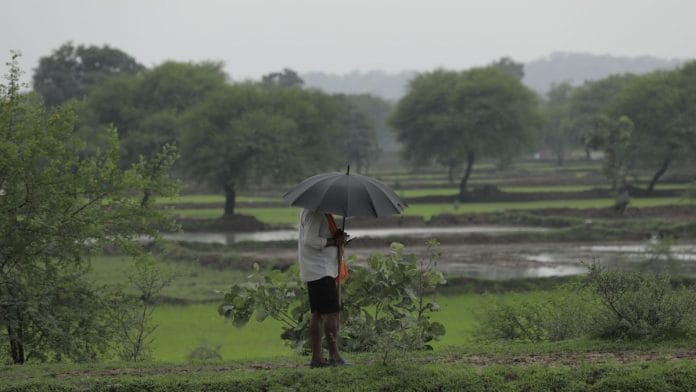


New Delhi: The Madden-Julian Oscillation, an eastward-moving pulse of clouds that is usually characterised by increased rainfall, has entered Phase 6. It’s a sign of reduced rainfall over the Indian territory in August, weathermen warned.
Jason Nicholls, lead international forecaster at private agency Accuweather, said that the Madden-Julian Oscillation (MJO) moving to Phase 6 will cause active rainfall in the West Pacific tropics in the first half of August. However, it will also reduce the chance of tropical development in the Atlantic.
“The MJO returning to Phase 6 will keep the West Pacific tropics active in early August while tending to reduce the chance for tropical development in the Atlantic. The MJO can also result in less rainfall than normal across much of India to open August,” Nicholls said.
How MJO affects Indian monsoon
The MJO is a large-scale pulse of rain and thunderstorm-carrying clouds that moves around the Earth’s tropics. It travels eastward, completing one cycle in about 30-90 days. The cycle begins in the Indian Ocean and moves toward Indonesia and the western Pacific, central and eastern Pacific, South America, and Africa before returning to the Indian Ocean.
It is divided into eight phases, and depending on the location of its active convective zone, rainfall activity increases or decreases. In the context of India, Phases 1, 2 and 3 are when rainfall becomes favourable. In these phases, the active convective zone is over the Indian Ocean, and its closeness to the Indian territory builds favourable conditions for rains.
Mahesh Palawat, vice-president (meteorology and climate change) at SkyMet Weather, explained that MJO moving to Phase 6 means that the system is far from India. This is expected to be the reason behind suppressed rainfall over the region in the coming weeks.
“Currently, the rain that we are receiving is because of an active weather system. It brought considerable rain over states such as Gujarat, but the MJO over the Indian Ocean would have become a catalyst for rainfall over India at this time. It enhances rain even in the absence of a weather system,” Palawat told ThePrint.
Past research has shown that when MJO is in Phase 1, its active convection is over Western Africa and its impact over Indian rain is neutral. When it moves to Phases 2 and 3—over western and then eastern Indian Ocean—rainfall activity over India increases considerably.
In Phases 4 and 5, the trend starts to decline, before it becomes unfavourable in Phases 6 and 7. This is when the MJO’s active convective zone is over the Pacific.
An unfavourable MJO—coupled with El Niño or the El Niño Southern Oscillation, which has already spelt drier days ahead—is bad news for the Indian monsoon, directly impacting the country’s agricultural output.
El Niño is a climate phenomenon in which trade winds and surface temperatures over the Pacific Ocean change course, leading to large-scale disruptions in weather patterns across the world.
The World Meteorological Organisation has hinted that this El Niño event is expected to be the worst in the last 150 years, and its impact is likely to be seen well into 2027 for many countries, including India.
The India Meteorological Department has already forecasted a deficit monsoon for most of the country. As of 3 August, India stands at a combined monsoon deficit of 12 per cent.
“The rain is likely to continue until 10 August. After that, we are expected to see break monsoon conditions, where the deficit margin is expected to increase,” Palawat said.
(Edited by Prasanna Bachchhav)
Also read: Hyderabad researchers have a new way to clean biopharma waste. It’s cheaper, energy-efficient