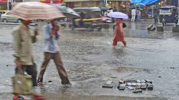
New Delhi: The southwest monsoon in India is expected to be normal or end in a surplus, despite global weather centres forecasting a delay in the development of La Nina — the periodic cooling of ocean surface temperatures in the Pacific, which usually aids southwest monsoon rain.
In May, the India Meteorological Department (IMD) forecasted a “normal to above normal” monsoon in most parts of the country. The department also stressed the intensity of rain was likely to increase in the latter part of the season, August and September, with the development of La Nina conditions.
Last week, the US National Oceanic and Atmospheric Administration (NOAA), however, predicted a delay in the development of La Nina.
“ENSO-neutral (El-Nino Southern Oscillation) is expected to continue for the next several months, with La Niña favoured to emerge during August-October (70 percent chance) and persist into the Northern Hemisphere winter 2024-25 (79 percent chance during November-January),” the NOAA forecast read.
This means temperatures over the equatorial Pacific Ocean were near average, a condition known as ENSO-neutral. There is a 70 percent chance of La Nina conditions, characterised by cooler-than-average sea surface temperatures in the central and eastern Pacific Ocean, developing between August and October and continuing through the winter season.
IMD scientists, however, said even if the global forecasts were accurate, Indian monsoons were unlikely to be impacted much.
“Different analyses are saying different things. But the atmosphere is moving towards La Nina conditions which is good enough. There will be no major impact in monsoon rain,” said senior IMD scientist, D.S. Pai.
Monsoon rain this season
Met department data showed that as of July 14, the monsoon rain in India was at a 3 percent deficit. Till the end of June, the rainfall deficit stood at 11 percent.
Over the past week, most states have bridged their rainfall deficit – Sikkim at 50 percent, Ladakh 89 percent, Goa 34 percent, Andhra Pradesh 48 percent and Tamil Nadu 88 percent.
Mahesh Palawat, vice-president (meteorology and climate change), of private weather forecasting service Skymet Weather, said the monsoon systems were expected to pick up again in two weeks, bringing more rain in many parts of the country.
“The intensity of rain will get better. July is likely to end in a surplus,” Palawat said.
Experts, however, explained while rainfall recorded was keeping up with the season’s normal, this came in short, intense spells. Monthly rainfall records were broken in only a few hours.
For instance, on 28 May, Delhi’s Safdarjung observatory, which largely remained parched throughout the month, recorded 228.1mm of rain in just four hours, not only breaking the record for the highest single-day rainfall record in 88 years but also pushing the monthly rainfall data beyond the deficit mark in many districts.
IMD’s Pai said this trend was witnessed over the last few seasons. Global warming is increasing the moisture-holding capacity of the atmosphere, leading to short but intense rain spells.
“The usual monsoon rain used to be more spread out. Low-intensity showers would continue consistently for a few days. But now we see that a region would experience intense showers for a few hours, and for the next few days or weeks, it would be dry. This is an impact of global warming, but such trends are not unique to Indian states. It is being witnessed in many parts of the world,” Pai said.
(Edited by Tikli Basu)
Also read: Wettest 24 hours in June since 1936 — what caused Delhi’s intense but short-lived downpour


