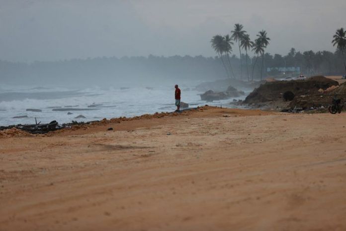
By Scott Vincent and Sarah Morland
(Reuters) – Residents in the Bahamas and Turks and Caicos on Monday braced for the Atlantic season’s first hurricane, the Category 4 Erin, after it strengthened over the weekend while sweeping past the Caribbean.
Erin has so far not made landfall or caused any major damage.
The U.S. National Hurricane Center (NHC) said Erin was expected to strengthen somewhat on Monday but bypass the northern Atlantic archipelagos. It will likely maintain its force as a dangerous major hurricane through the middle of the week, but avoid contact with Bermuda or the U.S. coast.
As of Monday at 1500 GMT, the storm was packing maximum sustained winds of 140 mph (225 kph) as it skirted north of Hispaniola, the Caribbean’s most populous island.
Its strength had fluctuated over the weekend, rising on Saturday to Category 5, the highest level of the Saffir-Simpson scale, before landing at Category 4 late on Sunday.
“Erin’s expanding wind field will result in rough ocean conditions over much of the western Atlantic,” the NHC said, saying it would grow larger than its current tropical storm-force winds stretching up to 230 miles (370 km) from its center.
Erin is the fifth named storm of the 2025 Atlantic season and the first to reach hurricane status. The last Atlantic storm to reach Category 5 intensity was Hurricane Milton in October last year.
The Dominican Republic put its northern coast on alert over the weekend, but had no reports of significant damage.
In Turks and Caicos, an overseas British territory, authorities suspended public services on its largest island and told residents in vulnerable areas to pack in case of evacuation.
The Bahamas’ meteorology department said the islands’ southeast, as well as Turks and Caicos, were experiencing tropical storm conditions, and warned that boats should not go out to sea until the end of the week.
“The seas could become extremely rough and dangerous during the swells,” it said.
The NHC warned of strong currents across much of the U.S. and Canadian east coasts in the coming days.
BMS meteorologist Andrew Siffert has said Erin may pass offshore along Canada’s Maritime Provinces without producing heavy rain, what he called a “gray swan” event.
He warned that sustained high winds could raise the risk of wildfires.
(Reporting by Scott Vincent in London, Sarah Morland in Mexico City, Ashitha Shivaprasad in Bengaluru and Paul Mathiasen in Santo Domingo; Editing by Alison Williams)
Disclaimer: This report is auto generated from the Reuters news service. ThePrint holds no responsibility for its content.


