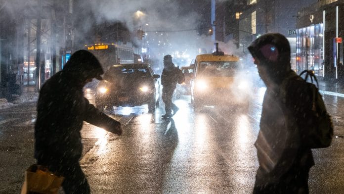
A winter storm descending on the US is expected to deliver heavy snow and ice to more than 150 million people across roughly two dozen states. Forecasts predict the storm will plunge Texas into a deep freeze before moving eastward and hitting major Northeast cities such as New York City and Boston.
The storm is being driven by a potent weather phenomenon: a disruption of the polar vortex.
Polar vortexes are girdles of swirling cold air and low pressure surrounding the Earth’s poles. “Vortex” refers to the counter-clockwise wind pattern that helps lock the cold air near the poles. The polar vortexes are always there, but the Arctic one can cause frigid weather in the US and portions of Europe and Asia when it splits or stretches.
This can be caused by pressure from the jet stream, a fast-moving band of winds high in the atmosphere that flows west to east. The current storm was caused by a fluctuation in the jet stream that sent energy slamming into the Arctic polar vortex and bouncing back, stretching the vortex out of its normal shape. This allowed Arctic air to push south in a bubble shape, plunging into regions that do not typically experience such extreme cold.
A notable example occurred in February 2021, when the northern polar vortex gave way and released a blast of icy air that reached Texas, crippling the state’s electric grid and killing at least 210 people.
Some climate models suggest that continued global warming could contribute to more frequent weakening of polar vortexes, potentially increasing the likelihood of similar extreme cold events in the future.
Disclaimer: This report is auto generated from the Bloomberg news service. ThePrint holds no responsibility for its content.
Also read: Intense underwater blackouts can last for months, impact marine ecosystem, say scientists


