New Delhi: From using the NISAR satellite to accurately mapping earthquake-prone areas to draining out Himalayan glacial lakes that are at the brink of an outburst, scientists and stakeholders from across India gathered in New Delhi to discuss the future of earthquake preparedness in the country.
Scientists and policy makers Wednesday shared ideas and latest knowledge on earthquakes at the Workshop on Addressing Earthquake Risk in India.
Discussions also revolved around an impending mega earthquake that is expected to hit the Himalayan region anytime in the future.
Though the experts agreed that accurately predicting an earthquake is still far from reality, National Centre for Seismology director O.P. Mishra observed that for many years now, the seismic hazard zones have already been broadly known.
“This should act like an early warning system,” Mishra said.
He, however, added that it was observed that in every earthquake, similar structures even just a few metres apart were affected differently. “This means there is some knowledge that is missing from the previous method of zonation.”
As per India’s seismic zoning map, the total area is classified into four seismic zones: V, IV, III & II. Zone V is seismically the most active region, while zone II is the least.
To address that, NCS is undertaking a microzonation exercise — which was already completed for major metros like Delhi and Kolkata. This mapping identifies earthquake zones at a more granular level, Mishra added, which can help people build structures accordingly. “We know that scientific and engineering solutions are available to prevent damages to structures.”
ISRO’s National Remote Sensing Centre director Prakash Chauhan noted that satellites can track small changes in plate tectonics and identify areas where the strain is building up for a potential earthquake.
“Satellite imagery can also help identify where groundwater depletion is causing land subsistence,” Chauhan said, adding that such an instance was identified recently in an area of Chandigarh.
“There is a need to carry out a nation-wide exercise to map out areas with high seismic strain,” Chauhan said, adding that such an exercise would become more easily possible with ISRO and NASA’s NISAR spacecraft that will be able to update plate deformation data every 12 days.
“This data could be used by scientists to calculate strain in different parts of the country.”
The satellite is set to be launched on 29 January next year, according to Chauhan.
Scientists also weighed in on the natural disasters that are an indirect result of earthquakes, such as glacial lake outburst flood (GLOF) or landslides in the Himalayas.
Ashim Sattar, a scientist at IISc, said that tsunami like waves can be created due to avalanche impact on glacial lakes and these avalanches can be triggered by earthquakes.
He explained that as a glacier melts, the water collects to form a lake, which is held by a natural dam made of rocks and sediments known as a moraine. GLOFs take place when the water overflows from the moraine. An earthquake can also destabilise the dam that is holding the water in the lake.
Sattar is working on identifying Himalayan glacial lakes at the risk of GLOFs.
He proposes that bringing down the water level of the lake by draining it out with pipes can prevent major disasters. “We are currently exploring the possibility of doing such projects in Sikkim.”
To recover the cost of such projects, Sattar says that the water drained from these lakes could be used to generate hydropower.
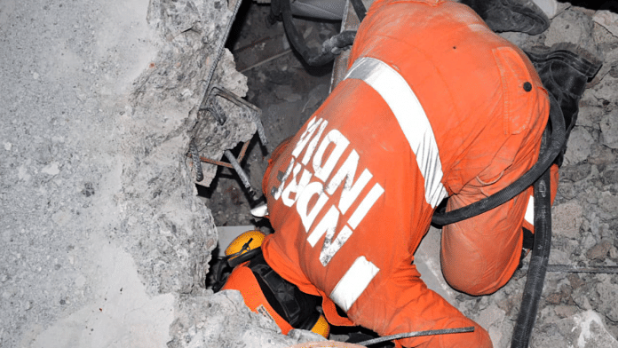
India has a lot to learn from its experience of managing the disaster response after the Turkey earthquake, said Kamal Kishore, a member secretary of the National Disaster Management Authority (NDMA).
“With the data collected from the field, we can create a model of how many doctors are needed, the caseload of major and minor injuries and what supplies will be needed.”
Kishore also highlighted that a high percentage of buildings in India were unsafe constructions. “Just like we are particular about having high quality bathroom fittings and interiors in our houses, we should become equally fixated about the earthquake resistance of our buildings,” he added.
He suggested that even retrofitting older buildings can have a huge impact on saving lives.
Concluding the session, M. Ravichandran, secretary, Ministry of Earth Science, said that there was a need to strengthen outreach activities.
“Our scientists also need to work on developing new models and identifying earthquake precursors that can help predict earthquakes, because even a few seconds of early warning could end up saving lives,” he said.
(Edited by Tony Rai)
Also Read: India ramps up aid to Turkey & Syria, Army sends 30-bed field hospital


