


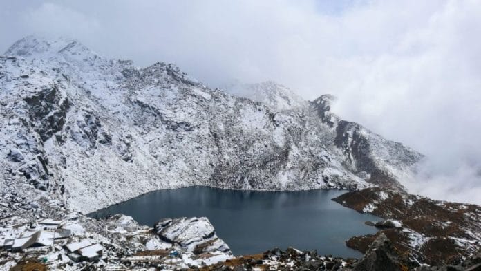
New Delhi: The glacier area in the Langtang catchment in central Nepal, the origin of the country’s deadly floods, has fallen by nearly 41.5 per cent since 1815, a new study has found.
The study, published in Global and Planetary Change on 1 September highlighted that the region’s glaciers are melting four times faster than they did before 2000. This mass melt leads to the formation of the glacial lakes that the ICIMOD was referring to in its report.
In 2020, the International Centre for Integrated Mountain Development (ICIMOD) had identified 47 potentially dangerous glacial lakes in river basins of Nepal, Tibet, and India. Of these nearly 21 were in Nepal, sitting in a fragile and rapidly changing Himalayan landscape.
Glacial lakes are held together by moraines or loose piles of rock, sediment, and ice. These form a ‘natural dam’ that often fails during a landslide, heavy rain, or a rock-ice avalanche as was seen recently in Nepal. The result is a Glacial Lake Outburst Flood (GLOF).
Nepali authorities have mapped over 2,000 glacial lakes in the region. Of these the 21 dangerous ones were classified so because of their physical characteristics and the habitation downstream. However, the fact that they are potentially dangerous does not mean they are about to burst.
Three of Nepal’s high-priority glacial lakes are the Tsho Rolpa in Dolakha district, Imja Tsho in Solukhumbu district, and Thulagi in the Lamjung district. Nepal has tried to address the problem. In 2000, engineers cut a 70-metre canal into the Tsho Rolpa’s moraine dam and lowered the waters of the lake by nearly three metres.
At the time, the project was one of the world’s highest altitude engineering projects. However, since then the lake has filled up again and has expanded to an area of 1.6 metres square.
In 2016, Nepali authorities, the United Nations Development Programme (UNDP), and the Global Environment Facility drained the Imja Tsho and reduced water levels by 3.4 metres and installed early warning systems in the villages below. But none of these have been long term solutions.
According to the recent research paper on glacier changes by researchers at the Newcastle university in the UK, while the area of glaciers has fallen, their numbers have nearly doubled from 58 to 115 as larger glaciers have fragmented into several smaller ones.
Reports recommend Nepal to focus on continuous satellite monitoring and early-warning systems, to make sure the effect of disasters like the current flood are minimised.