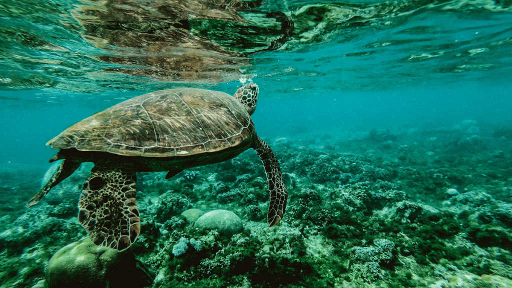
Most of us picture the ocean as its surface – a field of blue waves stretching out to the horizon. But, like our human lives on land, ocean life lives in three dimensions, diving deeper than our tallest mountains and travelling thousands of miles in the course of a year.
The ocean is the ultimate connector in ways both large and small: currents carrying nutrients and oxygen from the poles to the coastlines; absorbing 30% of carbon dioxide that is released into the atmosphere; ships transporting 90% of global goods; and, fibre-optic cables on the seafloor linking the worldwide web. Many of these connections remained invisible until the technological innovations of the last century made it easier and cheaper to explore and measure the sea.
Using oceanographic sensors on landers, buoys, ships, satellites, drones and autonomous underwater vehicles, we can now gather as much data about the ocean in one year as in the last one hundred years.
The US’s National Oceanic and Atmospheric Administration (NOAA) defines the New Blue Economy as “a knowledge-based economy, looking to the sea not just for extraction of material goods, but for data and information to address societal challenges and inspire their solutions.” It’s not just about generating more data – it’s a matter of getting the right data at the right time, to people who need it and drawing on data sources across government, academia, business and ocean communities, including indigenous knowledge.
The next wave of transformation in ocean understanding will come from not just increasing the volume of ocean data, but improving our ability to discover and connect it, giving us a clearer picture of what’s happening under the waves and envisioning new ocean solutions.
Optimising whale safety
The Benioff Ocean Science Laboratory’s WhaleSafe project, for example, integrates acoustic and visual data with model predictions to provide mariners near real-time information on whale locations, helping prevent fatal ship collisions with endangered whales. Whale-ship collisions are a leading cause of death for large whales. Whales can’t be easily spotted from the wheelhouse of a cargo ship, which needs as much notice as possible to alter its course into port. WhaleSafe draws on a wide range of data sources, each with different levels of data quality, interoperability and access rules. Its science and engineering team transforms this data into a product that’s available by application programming interface (API), allowing users to customise it into a dashboard or other data products supporting conservation and ocean management. While WhaleSafe only operates in a few places today, integrated data solutions, such as WhaleSafe, could be deployed in busy ports around the world.
Mapping the entire seafloor
At a larger scale, projects such as the EU Digital Twin or the Allen Coral Atlas knit together data from myriad sources to visualise ocean conditions. The Nippon Foundation-GEBCO Seabed 2030 project wants to put to rest the old saying that ‘we know more about the surface of the moon than the bottom of the ocean.’ A formally endorsed action of the United Nations Decade of Ocean Science for Sustainable Development, Seabed 2030 is uniting a wide array of governments, oceanographic institutions, research universities, ocean philanthropies and private companies with a goal of mapping 100% of the seafloor by 2030.
Using many different sources and survey technologies, including crowdsourced bathymetry and data donations from private companies, the initiative is working to knit together a free and publicly accessible view of the entire seafloor, via the GEBCO grid. The project has increased global bathymetric coverage from 6% to 23.4%, as of this writing, with eight years until the deadline.
Projects such as these invest significant resources in data management and data governance, ensuring data integrity, linking dataflows together, managing sharing licenses and building accessible data products. But, not every ocean project has this level of skilled staff, computing power or funding. And, there are also critical insights from communities and indigenous knowledge holders that do not easily mesh with traditional western scientific data structures and require particular attention to and respect for data sovereignty.
We need innovations in collecting, synthesizing, accessing and communicating ocean data that reduce barriers to ocean data sharing and create actionable knowledge. Successful innovations are often co-designed with the decision-makers who will use them, be they climate modellers or local fishers. A big impact can come from seemingly small changes.
This article was originally published in the World Economic Forum.
Also read: EU’s Digital Markets Act means big problems for big tech. Here’s why
