


New Delhi: Conditions are not favourable for further advance of the monsoon into Rajasthan, some parts of Punjab, Haryana and Delhi, the India Meteorological Department said on Thursday.
However, there could be slow progress into some more parts of Gujarat and Uttar Pradesh during the next two to three days, it said.
The Northern Limit of Monsoon (NLM) continues to pass through Diu, Surat, Nandurbar, Bhopal, Nowgong, Hamirpur, Barabanki, Bareilly, Saharanpur, Ambala and Amritsar.
“Large-scale atmospheric conditions are not favourable for further advance of the monsoon into Rajasthan, remaining parts of Punjab, Haryana and Delhi,” the IMD forecast read.
The weather department had earlier predicted that the wind system may reach Delhi by June 15; 12 days early.
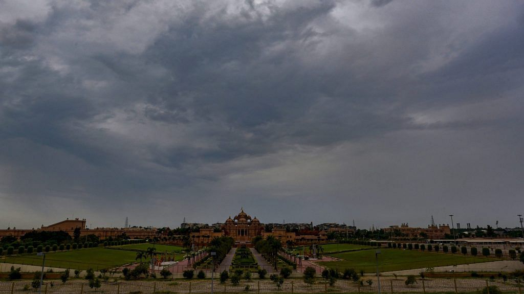
Normally, the monsoon reaches Delhi by June 27 and covers the entire country by July 8.
Last year, the wind system had reached Delhi on June 25 and covered the entire country by June 29, according to Skymet Weather, a private forecasting agency.
Mahesh Palawat from Skymet Weather said westerly winds have been blocking the advance of the monsoon in northwest India for the last three to four days.
Also read: Forecast of another normal monsoon expected to boost planting of major crops
“These winds will persist for another week. Hence, chances are that Delhi will get monsoonal showers only around the usual date of June 27,” he said.
The IMD said, “Moderate to severe” thunderstorms and frequent “cloud-to-ground lightning” are very likely over Uttarakhand, Uttar Pradesh, east Madhya Pradesh, Chhattisgarh, Bihar and Jharkhand on Thursday and Friday.
“This may cause injuries leading to casualties to people and animals outdoors,” it said.
Fairly widespread rainfall with isolated heavy to very heavy showers are very likely over Uttarakhand during the next two days under the influence of a Western Disturbance, the weather department forecast.
“A cyclonic circulation lies over Gangetic West Bengal and neighbourhood. Under its influence, widespread rainfall with isolated heavy to very heavy falls are very likely over Bihar, Jharkhand, West Bengal, Sikkim and Odisha during the next two to three days,” the MeT office said.
Isolated heavy to very heavy rainfall is very likely over east Uttar Pradesh in the next two-three days under the influence of a cyclonic circulation over east Uttar Pradesh and neighbourhood.
Isolated “extremely heavy” rainfall is predicted over Konkan and Goa and central Maharashtra during the next 24 hours as a result of an offshore trough running from south Karnataka to north Kerala coast.
Rainfall recorded below 15 mm is considered light, between 15 and 64.5 mm is moderate, between 64.5 mm and 115.5 mm is heavy, between 115.6 and 204.4 is very heavy. Anything above 204.4 mm is considered extremely heavy rainfall. –PTI
Also read: Indian farmers need a new distress index. Just suicide data won’t do