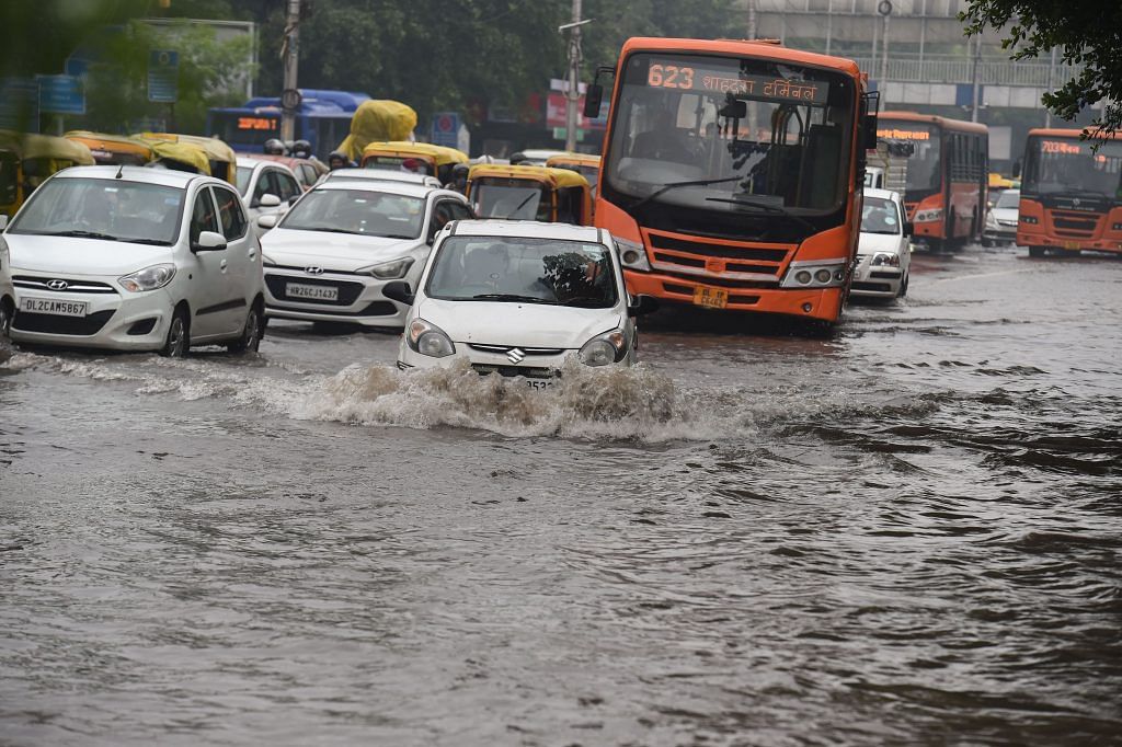
New Delhi: Since the monsoon season set in, Delhi has seen a spate of erratic, unseasonal rainfall. According to the Indian Meteorological Department (IMD), more rainfall is expected in the coming days, with thunderstorms predicted for 20 September.
This season, Delhi has seen the heaviest rainfall in decades, recording over 1161.1 mm of rainfall — the highest since 1975, when 1,155.6mm of rainfall was recorded.
According to data with the IMD, June normally sees 65.5 mm of rainfall, while July sees 210.6 mm, August 247.7 mm, and September 125.1 mm. But this seasonal pattern strayed from the normal, with June seeing 47 per cent less rainfall than normal (34.8 mm). July saw a 141 per cent rise in rainfall, at 507.1 mm, before the figure fell in August to 214.5 mm.
September, on the other hand, has recorded 404.7 mm of rainfall this season, which is expected to go on until the end of the month.
“In 24 hours, if there is rainfall greater than 64.4 mm, it’s called heavy rainfall. Normally, in September this will happen two or three times. But this time, we have recorded seven instances in the Safdarjung observatory and eight in the Palam observatory,” senior IMD scientist R.K. Jenamani told ThePrint, calling it an “unusually high” amount of rain.
For the northwest region of the country, the IMD predicts that in the next week, “rainfall is likely to be normal except east Rajasthan and east Uttar Pradesh, where it is likely to be above normal,” and that in the week after that, “rainfall is likely to be above normal over Northwest except Jammu & Kashmir, where it is likely to be normal during week 2.”
Low pressure systems
The reasons for heavy precipitation could be many, Jenamani said, such as low pressure areas, low levels of convergence (stronger wind moving into weaker wind), or high moisture in the Arabian Sea.
Low pressure areas, according to the American Geosciences Institute, “are places where the atmosphere is relatively thin. Winds blow inward toward these areas. This causes air to rise, producing clouds and condensation. Low-pressure areas tend to be well-organized storms.”
September’s unusual rain is due to low pressure systems, Jenamani said, adding that these “patterns are happening all of a sudden”.
“The lowest pressure forms over the Bay of Bengal and moves towards Rajasthan,” he said, explaining that this is causing rainfall in Delhi.
(Edited by Arun Prashanth)
Also read: Wet June, erratic July, dry August — 2021 monsoon follows pattern of climate change warning
