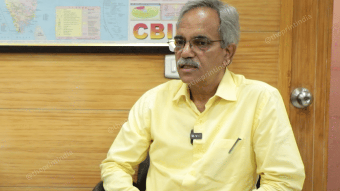
New Delhi: To save the Northeastern regions from environmental calamities, the Brahmaputra Board, a central government body responsible for managing the Brahmaputra river and its tributaries, is coming up with a digital alert system to track weak river embankments, its chairperson Ranbir Singh told ThePrint in an exclusive interview last week.
The monitoring system will also keep a check on embankments that have for years gone without any inspections, to prevent the risk of possible erosion, he said, adding that these often breach during peak monsoon when the flow of water is higher than the rest of the year, causing flood damage.
“The system will provide the authorities with a quicker local response, resulting in the prevention of further damage,” Singh said.
The Brahmaputra Board, set up in 1980 under the Ministry of Jal Shakti to coordinate flood control and river management in the Brahmaputra and Barak basin states, is working with state governments to roll out the system, according to Singh.
When asked why the board took so long to act despite years of recurring floods in the Northeast region, especially Assam, Singh admitted that there were “virtuous ideas” in the past but the board and states lacked momentum and coordination.
He said floodplain zoning, for instance, requires public awareness and consensus, which took time to build.
Flood‑plain zoning is a planning tool that delineates areas along rivers based on flood risk (e.g., high, moderate, low risk). In the designated zones, land use is regulated, with bans on permanent buildings in high-risk areas and only agriculture, recreation, or open space activities are allowed. It’s considered a non-structural measure to reduce flood damage, preserve ecosystems, and mitigate disaster risk.
The Ministry of Jal Shakti had issued a model bill for flood-plain zoning in 1975, but only four states, Manipur, Rajasthan, J&K (now a union territory) and Uttarakhand, have enacted it. Even among them, implementation has reportedly remained largely ineffective.
Singh pointed out that Manipur was an early mover in terms of flood-plain zoning in the 1970s, but now there’s renewed momentum and Arunachal has passed a law, and Nagaland and Meghalaya are preparing bills for the same.
In the backdrop of China’s construction of a mega dam on the Brahmaputra near the Great Bend, Singh said India is actively working to safeguard its strategic and economic interests while realising the Northeast’s vast hydropower potential.
He pointed out that the Brahmaputra Board has, in the past, prepared detailed project reports for nearly a dozen multipurpose projects in the region, including one for the proposed Siang Upper Multipurpose Project in Arunachal Pradesh.
“The government is doing everything it can both to harness the power potential of the Brahmaputra system and to protect its economic and other interests,” he said.
Also Read: Explained with maps: How topography, human density led to devastation in Kerala’s Wayanad
Three major challenges
While the board has been rolling out projects for flood management, Singh said it faces three major challenges at the moment: a chronic shortage of staff, limited technical expertise and an outdated approach to project planning.
“We are an understaffed organisation,” he said, citing high vacancy levels, stalled promotions, and difficulty in attracting officers on deputation. Even among new recruits, many leave within months—12 of 37 junior engineers hired last year through the Staff Selection Commission have already resigned, he added.
The second major hurdle is lack of in-house expertise. “We have civil engineers, but we don’t have IT specialists, data analysts so there is no data expertise in the organisation” Singh told ThePrint.
This gap, he added, limits the board’s ability to adopt new technologies like digital monitoring systems, nature-based solutions, and spring shed management, essential for modern river basin planning and flood preparedness.
The third challenge is evolving the board’s project strategy. The focus now is on taking up pilot projects that can showcase innovation and build capacity across the full spectrum of water resource management, from irrigation and erosion control to navigation and hydropower.
“We aspire to become a professional river basin organisation in the true sense of the term,” he said.
(Edited by Nida Fatima Siddiqui)


