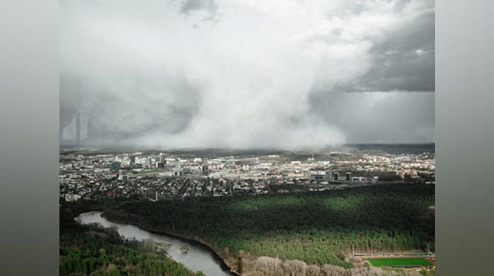
Florida: Hurricane Idalia is forecast to be an “extremely dangerous” Category 4 storm when it makes landfall early on Wednesday (US time), according to the updated advisory from the National Hurricane Center.
Idalia is expected to inundate parts of Florida’s Big Bend region with a “catastrophic” storm surge between 12 to 16 feet — higher than an average city bus, the agency said.
“There is the potential for destructive, life-threatening winds where the core of Idalia moves onshore in the Big Bend region,” the hurricane centre said.
In its advisory, the National Hurricane Centre said, “Catastrophic impacts from storm surge inundation of 12 to 16 feet above ground level and destructive waves are expected somewhere between the Wakulla/Jefferson County line and Yankeetown, Florida. Life-threatening storm surge inundation is likely elsewhere along portions of the Florida Gulf Coast where a Storm Surge Warning is in effect. Residents in these areas should follow any advice given by local officials.”
“There is the potential for destructive life-threatening winds where the core of Idalia moves onshore in the Big Bend region of Florida, with hurricane conditions expected elsewhere in portions of the Hurricane Warning area along the Florida Gulf Coast. Strong winds will also spread inland across portions of northern Florida and southern Georgia near the track of the center of Idalia where Hurricane Warnings are in effect. Residents in these areas should be prepared for long-duration power outages. Damaging hurricane-force winds are possible in portions of eastern Georgia and southeastern South Carolina where Hurricane Watches are in effect,” it added.
The Center also stated that the areas of flash, urban, and moderate river flooding, with locally considerable impacts, are expected across the Florida Big Bend, central Georgia and South Carolina, through eastern North Carolina into Thursday.
The officials across Florida’s west coast repeatedly pleaded with residents on Tuesday to evacuate the place immediately as the high water waves from the storm could prove deadly and the first responders would not be able to help until the storm passes.
“If you haven’t evacuated, you’re north of Fort Myers, you’re up into the central Gulf Coast, northern Big Bend area, if you have not evacuated, you need to do that right now. You need to drop what you’re doing, you need to go to your room, pack up, pack your things, and get to safety,” Florida Division of Emergency Management Executive Director Kevin Guthrie warned Tuesday evening, according to CNN.
“There is great potential for death and catastrophic devastation,” the Taylor County Sheriff’s Office warned on Tuesday, saying coastal residents were ordered to evacuate. “Storm surge on the coastal regions are projected as non-survivable.”
On the island city of Cedar Key, on the southern side of the Big Bend, Mayor Heath Davis urged residents under a mandatory evacuation order to leave immediately and said that this was the worst storm he had ever seen, as reported by CNN.
“This storm is worse than we’ve ever seen. My family has been here for many generations, we haven’t seen a storm this bad, ever,” he said Tuesday. All emergency services will stop Tuesday evening as winds pick up, the mayor said, adding he does not want to put employees’ lives in danger.
Cedar Key could be cut off by the high storm surge, National Hurricane Center Deputy Director Jamie Rhome said.
Looking at the intensity of the storm, various school across Florida have cancelled their classes as have 18 state colleges and six universities, including major institutions like the University of Florida in Gainesville and Florida State University in Tallahassee, Al Jazeera reported. (ANI)
This report is auto-generated from ANI news service. ThePrint holds no responsibility for its content.
Also read: Florida’s Gulf Coast braces for major hurricane as Idalia nears landfall


