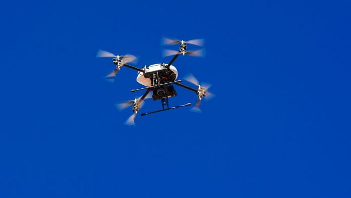
New Delhi: Armed with drones and digital sticks, the Survey of India has embarked on an Rs 300-crore mission to digitally map the entire country and ensure that the common man has highly accurate maps.
The maps available at present are developed using low-orbit satellites. While they help in everyday navigation, they are not truly ‘maps’, said Ashutosh Sharma, Secretary, Department of Science and Technology, which is funding the project.
The satellite images cannot provide ground-level data that is essential for implementing a number of projects — be it building new infrastructure, creating road networks or assessing disaster preparedness.
“We don’t have a digital map of sufficient resolution in the country that can be routinely used by everybody for planning, developmental needs and governance,” Sharma said in a meeting with journalists. “This could not have been done five years ago but the technology has changed. What would have taken 10 years and Rs 4,000 crore a decade ago will now cost Rs 300 crore and take two years.”
The Survey of India, the country’s apex engineering agency in charge of mapping and surveying, has already begun work in three states — Maharashtra, Karnataka and Haryana.
The whole country will be mapped with the help of third parties, and tenders for this will be floated soon, Sharma said. All the maps created by the Survey of India will be available for public use.
Also read: Indian security firm with drones aims to triple revenue to $3 billion
Drones, control points in survey
There are two aspects to the ‘Map India Mission’.
In the first, drones equipped with high-resolution cameras will take images that will be then used to identify features and simulate the elevation level of each area.
The other aspect is establishing ‘control points’. The Survey of India has painstakingly established a Continuously Operated Reference System (CORS) over the years. These are a network of geographical points for which the latitudes and longitudes are well established.
Located at every 20 km, these points are used as a reference to map other points with greater accuracy. “Now we now can put a digital stick at these control points that can communicate with the satellites,” Sharma said.
The technology will ensure accuracy of up to a few tenths of centimetres, he added.
Sharma calls the Map India Mission the second biggest revolution in cartography since the time of George Everest, a British geographer who served as Surveyor General of India between 1830 and 1843. “In those days, hundreds of people died in trying to make the map of India,” Sharma said. “People went through tiger-infested jungles, they dealt with mosquitoes and diseases. They did not have the technology but they had the will.”
Everest, after whom the world’s tallest mountain peak is named, contracted malaria while conducting fieldwork for mapping the country.
“We have the technology, we just have to inject more will and discipline,” Sharma said. “And then we can do it without anybody dying.”
Namami Ganga to be mapped
Sharma said the mapping for Namami Gange — the flagship programme for effective abatement of pollution, conservation and rejuvenation of the river Ganga — is being done with this technology.
“We need data of 25 km from either side of the Ganga from the beginning to end,” Sharma said.
The project will map all the catchment areas from where the water of the Ganga originates and identify where polluted water is coming from. The mapping will also help better understand soil erosion in the area.
“If we have the elevation map of sufficient accuracy, simulations can predict which areas will be most affected by floods, which areas will need to be evacuated,” Sharma said. “If new developmental projects are being created around Ganga, the map will tell us where they should be built, or not built.”
Also read: Deadline to clean Ganga is next year but less than 30% of sewerage infra is ready


