

keralarescue.in, which has received over 1 crore requests for aid and rescue, is available in multiple languages, provides details of relief centres and maps of flooded areas.
New Delhi: Another set of unsung heroes have emerged from Kerala’s worst flood in a century — volunteer IT professionals who first helped set up and then maintain the official website, to coordinate rescue and relief to those affected.
The professionals, from across the world, took around 96 man-hours to fully develop keralarescue.in on GitHub, a crowdsourcing software development platform, said Vignesh Hari, an engineering student and a volunteer.
Hari is a member of the Institute of Electrical and Electronics Engineers (IEEE), the world’s largest technical professional society. Its Kerala chapter is one of the main initiators of the website.
“Around 69 volunteer software developers contributed to the master (main) design of keralarescue.in. However there were hundreds of other developers who contributed to the fringe elements of the website,” said Hari.
The discussions, development and launch of the website, however, all happened on the same day, 11 August, said Muraleedharan Manningal, head of the State e-Governance Mission Team for Kerala.
Also read: Sharing WhatsApp photo to ferrying people and food: How ‘God’s own army’ saved Kerala
“The discussion started at 9 am and we were able to mobilise a bunch of smart techies to design, develop and host the portal on cloud by night. Some 300 IT student volunteers even went on the field to support the collection of relief materials in Ernakulam, Palakkad, Malappuram and Wayanad districts,” he said.
Lauding the efforts of the techies, Manningal said: “These IT professional members of IEEE, volunteers from other organisations played a pivotal effort during Kerala rescue and aid efforts”.
The website, available in a host of languages from Malayalam to Xhosa and even Zulu, allows users to seek help, provides details of relief centres and maps of flooded areas among other important information.
‘Has crashed just twice’
For a website that serves a critical but temporary purpose, there was a lot of code written and developed as compared to a typical website, said Hari.
“The website has received over 1 crore requests for aid and rescue. We have about 1,500 IT developers helping to maintain the website. We work on mostly shift basis — the US-based developers would take over at night when we rest. Then during morning hours, core developers from Kerala and Chennai, Bengaluru would take over,” he said.
Another volunteer techie said, “People from the US to Singapore helped to make sure the website was active and running all 24 hours. The IT servers received heavy traffic and withstood it very well. It only crashed twice during the entire time; we thought it would crash at least ten times.”
For now, with the worst of the natural calamity behind them, efforts are now focused on relief efforts. “Most of the rescue efforts have been completed. The team is now mostly receiving and focused on directing people towards relief camps,” Hari said.
Also read: In Kerala flood war room, clockwork efficiency is the order of the day
Crowd-sourced IT effort
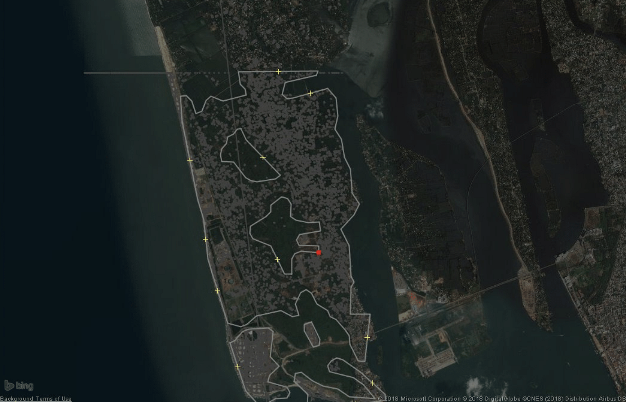
The maps on the website are largely the result of a crowd-sourced IT effort. Such maps are imperative in times of crises, pointing out where camps and collection centres are and what streets are flooded and are to be avoided.
These maps rely on other crowd-sourced efforts from the likes of voluntary international mapping community, OpenStreetMap. Since its inception 14 years ago many a contributing techie member has mapped the world pro bono.
Volunteering techies from its Indian community, OpenStreetMap India, have mapped all of the primary and secondary roads in Kerala.
They are now focusing on mapping the “major district roads” at this time to complete that level of the network, said Blake Girardot, a senior representative of the OpenStreetMap’s international team for humanitarian projects.